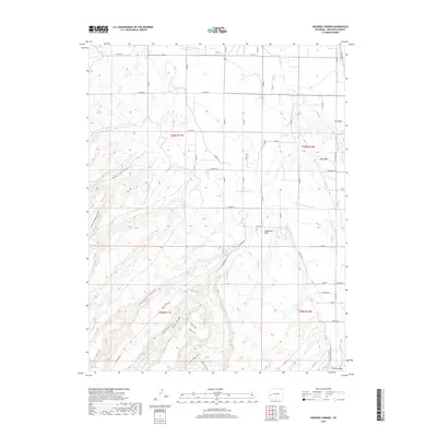
2019 Map of Hoovers Corner
USGS Topo · Published 2019About this map
Ironstone Canal and an intricate network of irrigation laterals define the northern agricultural landscape of this Montrose County region. The terrain is characterized by a series of distinct tablelands, including California Mesa, High Mesa, and Ash Mesa, which rise above the surrounding drainage basins. This 2019 survey shows how human engineering has adapted to the arid climate, with water systems like the C Canal and F J Lateral supporting the local economy.
Find a feature on this map
42 named features on this map. Tap any name to fly to it.
Don’t see what you’re looking for? This feature index may not catch every label — zoom into the map to look around manually.
Map Details
Editions of this 2019 Hoovers Corner Map
This is the sole edition of this map. No revisions or reprints were ever made.
Other maps of this area

1909 · Montrose
USGS Topo · 1:125,000

1911 · Montrose
USGS Topo · 1:125,000

1955 · Olathe NW
USGS Topo · 1:24,000

1955 · Olathe
USGS Topo · 1:24,000

1956 · Montrose
USGS Topo · 1:250,000

1956 · Moab
USGS Topo · 1:250,000

1959 · Moab
USGS Topo · 1:250,000

1959 · Montrose
USGS Topo · 1:250,000

1960 · Montrose
USGS Topo · 1:250,000

1960 · Moab
USGS Topo · 1:250,000