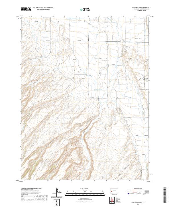
2022 Map of Hoovers Corner
USGS Topo · Published 2022About this map
California Mesa and Ash Mesa dominate the northern landscape of this Montrose County region, where a sophisticated network of irrigation channels like the Ironstone Canal, C Q Lateral, and F G Lateral transformed the arid high desert into productive agricultural land. This complex water management system is juxtaposed against the deeper, natural drainage of Big Sandy Wash and the steep descent into Coalbank Canyon further south.
Find a feature on this map
45 named features on this map. Tap any name to fly to it.
Don’t see what you’re looking for? This feature index may not catch every label — zoom into the map to look around manually.
Map Details
Editions of this 2022 Hoovers Corner Map
This is the sole edition of this map. No revisions or reprints were ever made.
Other maps of this area

1909 · Montrose
USGS Topo · 1:125,000

1911 · Montrose
USGS Topo · 1:125,000

1955 · Olathe NW
USGS Topo · 1:24,000

1955 · Olathe
USGS Topo · 1:24,000

1956 · Montrose
USGS Topo · 1:250,000

1956 · Moab
USGS Topo · 1:250,000

1959 · Moab
USGS Topo · 1:250,000

1959 · Montrose
USGS Topo · 1:250,000

1960 · Montrose
USGS Topo · 1:250,000

1960 · Moab
USGS Topo · 1:250,000