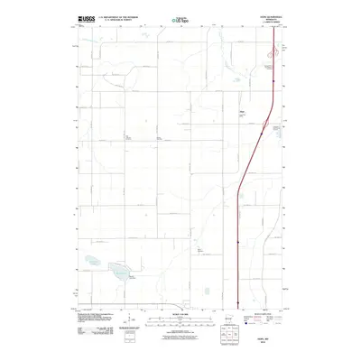
2010 Map of Hope
USGS Topo · Published 2010About this map
Hope serves as the primary settlement hub in this southern Minnesota landscape, anchored by the Hope Post Office and the recreation area at Hope Oak Knoll Camp Ground. The terrain is defined by a grid of agricultural roads and the north-south course of the Straight River, which meanders through the eastern portion of the quadrangle. To the west, the Little Le Sueur River begins its course, while the southern landscape is dotted by Lonergan Lake and Beaver Lake, the latter controlled by the Beaver Lake Dam.
Find a feature on this map
39 named features on this map. Tap any name to fly to it.
Don’t see what you’re looking for? This feature index may not catch every label — zoom into the map to look around manually.
Map Details
Editions of this 2010 Hope Map
This is the sole edition of this map. No revisions or reprints were ever made.
Other maps of this area

1953 · Saint Paul
USGS Topo · 1:250,000

1954 · Mason City
USGS Topo · 1:250,000

1957 · Mason City
USGS Topo · 1:250,000

1958 · Mason City
USGS Topo · 1:250,000

1959 · Saint Paul
USGS Topo · 1:250,000

1962 · Owatonna
USGS Topo · 1:24,000

1962 · Saco
USGS Topo · 1:24,000

1962 · Meriden
USGS Topo · 1:24,000

1967 · Steele Center
USGS Topo · 1:24,000

1967 · Hollandale
USGS Topo · 1:24,000