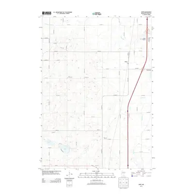
2013 Map of Hope
USGS Topo · Published 2013About this map
The settlement of Hope anchors this Steele County landscape, situated along a north-south transportation corridor that follows the winding path of the Straight River. This 2013 survey reveals a rural landscape defined by its agricultural grid and a series of historical burial grounds that reflect the area's pioneer heritage. Genealogists can identify several distinct cemeteries including the Zion Lutheran Cem, Danish Cem, and Berlin Cem, each marking early communities in Somerset and Berlin townships.
Find a feature on this map
33 named features on this map. Tap any name to fly to it.
Don’t see what you’re looking for? This feature index may not catch every label — zoom into the map to look around manually.
Map Details
Editions of this 2013 Hope Map
This is the sole edition of this map. No revisions or reprints were ever made.
Other maps of this area

1953 · Saint Paul
USGS Topo · 1:250,000

1954 · Mason City
USGS Topo · 1:250,000

1957 · Mason City
USGS Topo · 1:250,000

1958 · Mason City
USGS Topo · 1:250,000

1959 · Saint Paul
USGS Topo · 1:250,000

1962 · Owatonna
USGS Topo · 1:24,000

1962 · Saco
USGS Topo · 1:24,000

1962 · Meriden
USGS Topo · 1:24,000

1967 · Steele Center
USGS Topo · 1:24,000

1967 · Hollandale
USGS Topo · 1:24,000