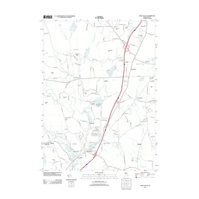
2012 Map of Hope Valley
USGS Topo · Published 2012About this map
The Wood River winds through this South County landscape, defining a region where early Rhode Island industrial hamlets and expansive conservation lands meet. Small settlements like Wyoming, Locustville, and Barberville are clustered along the southern watercourses, while the central and northern portions are dominated by the Arcadia Man Area. This transition from active village life to protected woodland is marked by numerous family burial sites, including the Tefft Family Cem and the Lillibridge Burial Ground, which offer clear evidence of the area's long-standing agricultural and residential roots.
Find a feature on this map
163 named features on this map. Tap any name to fly to it.
Don’t see what you’re looking for? This feature index may not catch every label — zoom into the map to look around manually.
Map Details
Editions of this 2012 Hope Valley Map
This is the sole edition of this map. No revisions or reprints were ever made.
Other maps of this area

1889 · Stonington
USGS Topo · 1:62,500

1889 · Charlestown
USGS Topo · 1:62,500

1889 · Moosup
USGS Topo · 1:62,500

1890 · Kent
USGS Topo · 1:62,500

1893 · Moosup
USGS Topo · 1:62,500

1893 · Stonington
USGS Topo · 1:62,500

1894 · Kent
USGS Topo · 1:62,500

1919 · Charlestown
USGS Topo · 1:62,500

1920 · Moosup
USGS Topo · 1:62,500

1921 · Charlestown
USGS Topo · 1:62,500