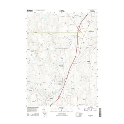
2015 Map of Hope Valley
USGS Topo · Published 2015About this map
Hope Valley and the surrounding villages of Wyoming, Arcadia, and Barberville are centered on the river-driven industry and settlement patterns of southwestern Rhode Island. The course of the Wood River dictates the local geography, feeding several historic industrial sites such as Browning Mill Pond and Wyoming Pond. This landscape is heavily characterized by small family-named land tracts and burial grounds, providing a significant resource for genealogical research. Notable sites include the Lillibridge Cem, Arnold Cem, and the Bliven Burial Ground, alongside uniquely named parcels like the Lewis-Himes-Tillinghast Lot. To the north, the terrain rises into the Black Plain and Raccoon Hill, while conservation efforts are evident at the Mount Tom Club Wildlife Marsh. The map also captures the path of the New London Tpk, an essential artery connecting these mill villages and rural homesteads.
Find a feature on this map
165 named features on this map. Tap any name to fly to it.
Don’t see what you’re looking for? This feature index may not catch every label — zoom into the map to look around manually.
Map Details
Editions of this 2015 Hope Valley Map
This is the sole edition of this map. No revisions or reprints were ever made.
Other maps of this area

1889 · Stonington
USGS Topo · 1:62,500

1889 · Charlestown
USGS Topo · 1:62,500

1889 · Moosup
USGS Topo · 1:62,500

1890 · Kent
USGS Topo · 1:62,500

1893 · Moosup
USGS Topo · 1:62,500

1893 · Stonington
USGS Topo · 1:62,500

1894 · Kent
USGS Topo · 1:62,500

1919 · Charlestown
USGS Topo · 1:62,500

1920 · Moosup
USGS Topo · 1:62,500

1921 · Charlestown
USGS Topo · 1:62,500