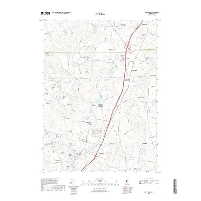
2018 Map of Hope Valley
USGS Topo · Published 2018About this map
Hope Valley and Wyoming anchor the southern reach of this 2018 survey, where the Wood River system winds through the borderlands of Kent and Washington Counties. The landscape is deeply tied to the water power of the late industrial era, evidenced by numerous impoundments like Browning Mill Pond and Canob Pond that supported small mill settlements such as Arcadia and Barberville. The map is a remarkable resource for genealogists, documenting a dense network of family burial sites and private plots, including the Lillibridge Burial Ground, the Lewis - Himes - Tillinghast Plot, and the Sprague Tefft Family Cem. These sites are scattered across the wooded elevations of Nooseneck Hill and Tefft Hill, revealing the early settlement patterns of South County families long after the peak of the textile industry that once defined these rural villages.
Find a feature on this map
165 named features on this map. Tap any name to fly to it.
Don’t see what you’re looking for? This feature index may not catch every label — zoom into the map to look around manually.
Map Details
Editions of this 2018 Hope Valley Map
This is the sole edition of this map. No revisions or reprints were ever made.
Other maps of this area

1889 · Stonington
USGS Topo · 1:62,500

1889 · Charlestown
USGS Topo · 1:62,500

1889 · Moosup
USGS Topo · 1:62,500

1890 · Kent
USGS Topo · 1:62,500

1893 · Moosup
USGS Topo · 1:62,500

1893 · Stonington
USGS Topo · 1:62,500

1894 · Kent
USGS Topo · 1:62,500

1919 · Charlestown
USGS Topo · 1:62,500

1920 · Moosup
USGS Topo · 1:62,500

1921 · Charlestown
USGS Topo · 1:62,500