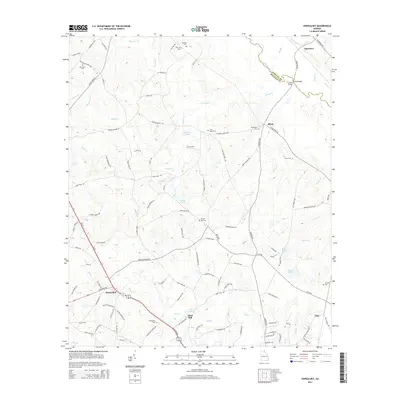
2014 Map of Hopeulikit
USGS Topo · Published 2014About this map
Akins Mill and the crossroads of Hopeulikit anchor this portion of Bulloch County, where the agricultural landscape is defined by a dense network of creek-fed ponds and family burial grounds. The Ogeechee River forms the northeastern boundary, separating Bulloch from Screven County and creating a lowland environment where Bay Gall Creek and Nevills Creek drain toward the river basin. Cultural and genealogical landmarks are frequent, including Saint Marys Cemetery and Temple Hill Cemetery, alongside numerous small settlements like Blitch and Clito. The terrain is marked by water management and industry, evidenced by Akins Pond and Tillman Pond, while the rural road network, including Middle Ground Road, links these isolated communities and historic church sites like Friendship Church.
Find a feature on this map
117 named features on this map. Tap any name to fly to it.
Don’t see what you’re looking for? This feature index may not catch every label — zoom into the map to look around manually.
Map Details
Editions of this 2014 Hopeulikit Map
This is the sole edition of this map. No revisions or reprints were ever made.
Other maps of this area

1918 · Oliver
USGS Topo · 1:62,500

1920 · Statesboro
USGS Topo · 1:62,500

1920 · Oliver
USGS Topo · 1:62,500

1921 · Brooklet
USGS Topo · 1:62,500

1921 · Rocky Ford
USGS Topo · 1:62,500

1943 · Brooklet
USGS Topo · 1:62,500

1943 · Rocky Ford
USGS Topo · 1:62,500

1943 · Millen
USGS Topo · 1:125,000

1943 · Statesboro
USGS Topo · 1:62,500

1943 · Oliver
USGS Topo · 1:62,500