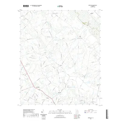
2020 Map of Hopeulikit
USGS Topo · Published 2020About this map
Hopeulikit sits at the junction of Highway 25 and Highway 80, anchoring a landscape defined by the lowlands of Bulloch County. The topography is shaped by the wide basin of the Ogeechee River, which forms the northern boundary against Screven County. This area maintains a strong connection to its agricultural and spiritual foundations, evidenced by the numerous small family and community burial grounds like Lee Cem and Beasley Cem that dot the countryside between sprawling timber tracts and wetlands.
Find a feature on this map
126 named features on this map. Tap any name to fly to it.
Don’t see what you’re looking for? This feature index may not catch every label — zoom into the map to look around manually.
Map Details
Editions of this 2020 Hopeulikit Map
This is the sole edition of this map. No revisions or reprints were ever made.
Other maps of this area

1918 · Oliver
USGS Topo · 1:62,500

1920 · Statesboro
USGS Topo · 1:62,500

1920 · Oliver
USGS Topo · 1:62,500

1921 · Brooklet
USGS Topo · 1:62,500

1921 · Rocky Ford
USGS Topo · 1:62,500

1943 · Brooklet
USGS Topo · 1:62,500

1943 · Rocky Ford
USGS Topo · 1:62,500

1943 · Millen
USGS Topo · 1:125,000

1943 · Statesboro
USGS Topo · 1:62,500

1943 · Oliver
USGS Topo · 1:62,500