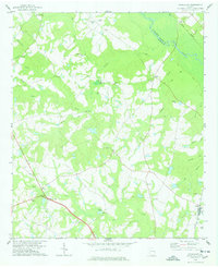
1978 Map of Hopeulikit
USGS Topo · Published 1978About this map
Hopeulikit sits as a central hub in this corner of Bulloch County, where the landscape is defined by the winding Ogeechee River and a dense network of creek branches. The 1970s rural character of the region is evident in the numerous country churches like Temple Hill Ch and St Marys Ch, alongside family-named landmarks such as Donaldson Cem and Beasley Cem. The local economy of this era still shows its agrarian and industrial roots through features like Mallards Mill on Mallards Pond and Akins Mill near Akins Pond.
Find a feature on this map
52 named features on this map. Tap any name to fly to it.
Don’t see what you’re looking for? This feature index may not catch every label — zoom into the map to look around manually.
Map Details
Editions of this 1978 Hopeulikit Map
This is the sole edition of this map. No revisions or reprints were ever made.
Other maps of this area

1918 · Oliver
USGS Topo · 1:62,500

1920 · Statesboro
USGS Topo · 1:62,500

1920 · Oliver
USGS Topo · 1:62,500

1921 · Brooklet
USGS Topo · 1:62,500

1921 · Rocky Ford
USGS Topo · 1:62,500

1943 · Brooklet
USGS Topo · 1:62,500

1943 · Rocky Ford
USGS Topo · 1:62,500

1943 · Millen
USGS Topo · 1:125,000

1943 · Statesboro
USGS Topo · 1:62,500

1943 · Oliver
USGS Topo · 1:62,500