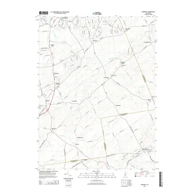
2014 Map of Hopewell
USGS Topo · Published 2014About this map
Neshanic River and its several branches—the First, Second, and Third Neshanic River—drain the northern landscape near Reaville and Cloverhill. This area of central New Jersey is defined by a dense network of early crossroads and rural settlements like Wertsville, Ringoes, and Larisons Corners. The map provides significant genealogical value through its documentation of numerous burial sites, including the Wertsville Baptist Church Yard and Union Cem of Wertsville.
Find a feature on this map
49 named features on this map. Tap any name to fly to it.
Don’t see what you’re looking for? This feature index may not catch every label — zoom into the map to look around manually.
Map Details
Editions of this 2014 Hopewell Map
This is the sole edition of this map. No revisions or reprints were ever made.
Other maps of this area

1888 · Princeton
USGS Topo · 1:62,500

1890 · High Bridge
USGS Topo · 1:62,500

1890 · Lambertville
USGS Topo · 1:62,500

1891 · Somerville
USGS Topo · 1:62,500

1891 · Lambertville
USGS Topo · 1:62,500

1893 · Somerville
USGS Topo · 1:62,500

1894 · Princeton
USGS Topo · 1:62,500

1894 · Lambertville
USGS Topo · 1:62,500

1898 · High Bridge
USGS Topo · 1:62,500

1898 · Somerville
USGS Topo · 1:62,500
Featured Places
- Hillsborough Township, NJ
- Raritan Township, NJ
- Montgomery Township, NJ
- Hopewell Township, NJ
- Flemington, NJ