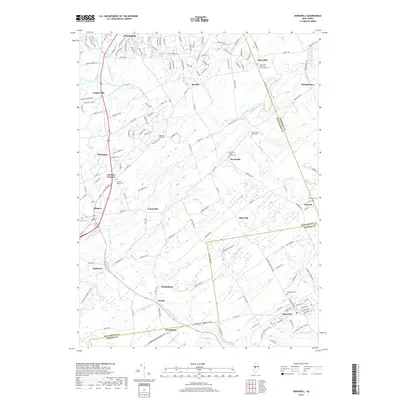
2019 Map of Hopewell
USGS Topo · Published 2019About this map
Flemington and Hopewell anchor the northern and southern reaches of this landscape, where the headwaters of the Neshanic River and Stony Brook create a network of drainages across the Hunterdon, Somerset, and Mercer county lines. The area is defined by numerous historic hamlets such as Wertsville, Ringoes, and Reaville, which serve as focal points for the surrounding rural homesteads. Significant genealogical interest is found in the high concentration of burial grounds, including the Clover Hill Reformed Church and Cem and the Union Cem of Wertsville.
Find a feature on this map
163 named features on this map. Tap any name to fly to it.
Don’t see what you’re looking for? This feature index may not catch every label — zoom into the map to look around manually.
Map Details
Editions of this 2019 Hopewell Map
This is the sole edition of this map. No revisions or reprints were ever made.
Other maps of this area

1888 · Princeton
USGS Topo · 1:62,500

1890 · High Bridge
USGS Topo · 1:62,500

1890 · Lambertville
USGS Topo · 1:62,500

1891 · Somerville
USGS Topo · 1:62,500

1891 · Lambertville
USGS Topo · 1:62,500

1893 · Somerville
USGS Topo · 1:62,500

1894 · Princeton
USGS Topo · 1:62,500

1894 · Lambertville
USGS Topo · 1:62,500

1898 · High Bridge
USGS Topo · 1:62,500

1898 · Somerville
USGS Topo · 1:62,500
Featured Places
- Hillsborough Township, NJ
- Raritan Township, NJ
- Montgomery Township, NJ
- Hopewell Township, NJ
- Flemington, NJ