2023 Map of Hopewell
USGS Topo · Published 2023About this map
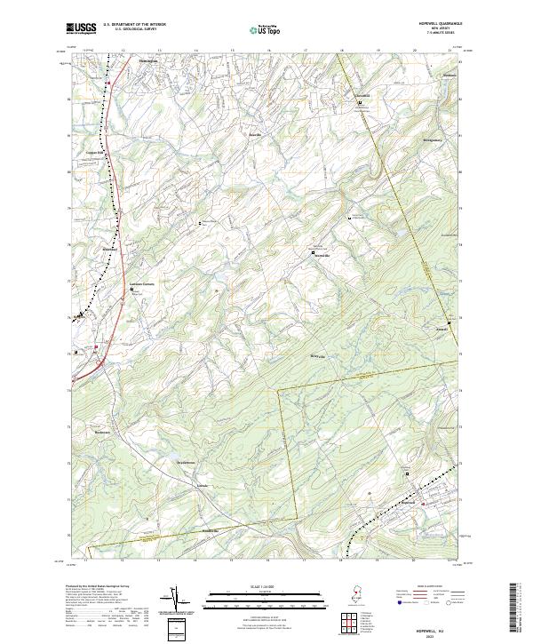
Hopewell serves as the southern anchor for this map of rural New Jersey, which follows the intricate drainage patterns of the Neshanic River and Stony Brook. The landscape is defined by its transition from the northern edges of Flemington down across the Hunterdon and Mercer County line. This area preserves a high density of early crossroads settlements and historic burial sites, providing a clear view of the regional genealogy and community structure. Small hamlets like Wertsville, Reaville, and Larisons Corners are mapped alongside significant landmarks such as the Sourland Mtn ridge and the Pheasant Hill area.
Find a feature on this map
165 named features on this map. Tap any name to fly to it.
Don’t see what you’re looking for? This feature index may not catch every label — zoom into the map to look around manually.
Map Details
Editions of this 2023 Hopewell Map
This is the sole edition of this map. No revisions or reprints were ever made.
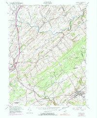
Historical Maps of East Amwell Township Through Time
Featured Locations
- Hopewell Township, NJ
- Hillsborough Township, NJ
- Montgomery Township, NJ
- Raritan Township, NJ
- Flemington, NJ