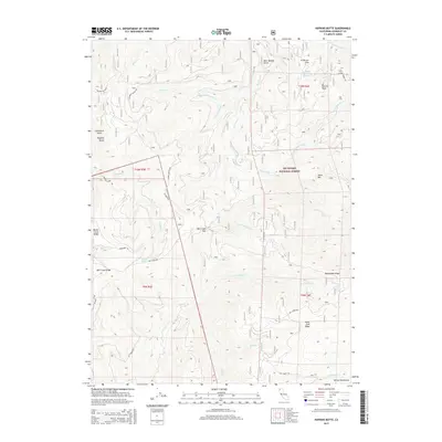
2015 Map of Hopkins Butte
USGS Topo · Published 2015About this map
Six Rivers National Forest encompasses this high-elevation landscape within the Salmon Mountains, where steep drainage systems define the territory. The topography is anchored by Hopkins Butte and Le Perron Peak, with the notable Mill Creek Gap serving as a significant pass through the ridgelines. The map reveals a complex network of forest access routes, including Shelton Butte Rd, Oil Spring Rd, and the Hopkins Butte Trl, illustrating the infrastructure required for managing these remote timber and watershed lands.
Find a feature on this map
40 named features on this map. Tap any name to fly to it.
Don’t see what you’re looking for? This feature index may not catch every label — zoom into the map to look around manually.
Map Details
Editions of this 2015 Hopkins Butte Map
This is the sole edition of this map. No revisions or reprints were ever made.
Other maps of this area

1925 · Hoopa
USGS Topo · 1:125,000

1948 · Weed
USGS Topo · 1:250,000

1950 · Weed
USGS Topo · 1:250,000

1952 · Hoopa
USGS Topo · 1:62,500

1952 · Orleans
USGS Topo · 1:62,500

1955 · Salmon Mtn
USGS Topo · 1:62,500

1955 · Forks of Salmon
USGS Topo · 1:62,500

1958 · Weed
USGS Topo · 1:250,000

1963 · Weed
USGS Topo · 1:250,000

1974 · Orleans Mtn.
USGS Topo · 1:24,000