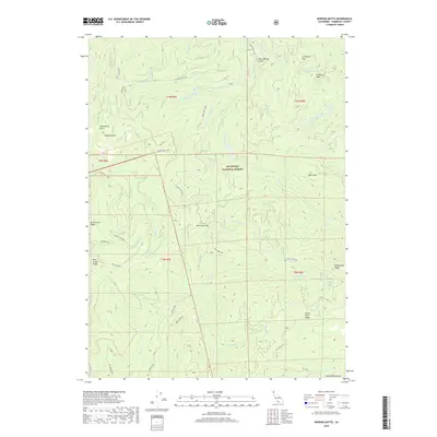
2018 Map of Hopkins Butte
USGS Topo · Published 2018About this map
Six Rivers National Forest encompasses this section of the Salmon Mountains, where steep drainage systems define the local geography. The landscape is marked by prominent crests such as Bunch Grass Ridge and Mill Creek Ridge, which serve as natural dividers for the numerous watercourses flowing through the territory. In the northern reaches, Le Perron Flat and the adjacent Le Perron Peak suggest a specific history of land use or local naming in an otherwise densely forested region.
Find a feature on this map
42 named features on this map. Tap any name to fly to it.
Don’t see what you’re looking for? This feature index may not catch every label — zoom into the map to look around manually.
Map Details
Editions of this 2018 Hopkins Butte Map
This is the sole edition of this map. No revisions or reprints were ever made.
Other maps of this area

1925 · Hoopa
USGS Topo · 1:125,000

1948 · Weed
USGS Topo · 1:250,000

1950 · Weed
USGS Topo · 1:250,000

1952 · Hoopa
USGS Topo · 1:62,500

1952 · Orleans
USGS Topo · 1:62,500

1955 · Salmon Mtn
USGS Topo · 1:62,500

1955 · Forks of Salmon
USGS Topo · 1:62,500

1958 · Weed
USGS Topo · 1:250,000

1963 · Weed
USGS Topo · 1:250,000

1974 · Orleans Mtn.
USGS Topo · 1:24,000