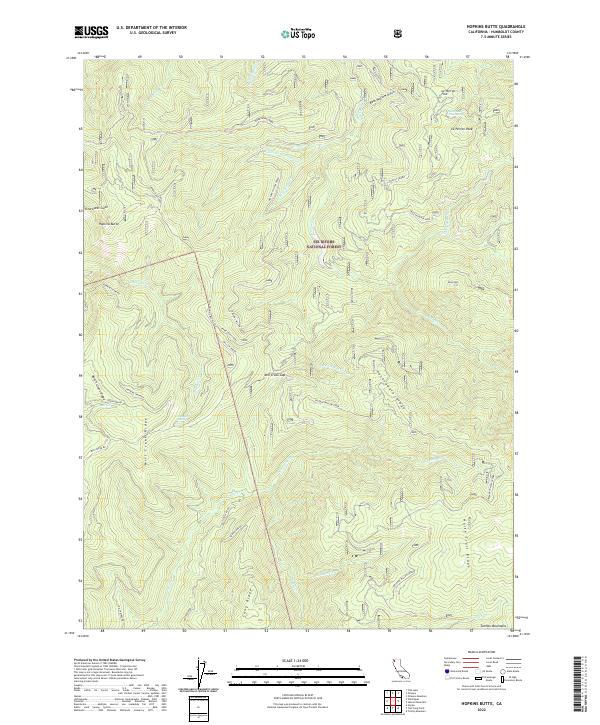
2022 Map of Hopkins Butte
USGS Topo · Published 2022About this map
Six Rivers National Forest dominates this landscape in Humboldt County, characterized by a complex network of ridgelines and watercourses. The northern portion is defined by high points like Le Perron Peak and the notable Trinity Summit, while the southern reaches descend toward the Salmon Mountains. Significant drainage basins are visible for Leary Creek, Red Cap Creek, and Mill Creek, each fed by numerous forks and gulches such as Clearwater Gulch and Bear Wallow Gulch. The transport network relies on a system of forest roads and trails, including Hopkins Creek Road and the Hopkins Butte Trail, which navigate the steep transition from valley floors to landmarks like Hopkins Butte and Packsaddle Ridge. Factual details such as Tenmile Spring and Le Perron Peak Spring indicate essential water sources in this high-elevation terrain, providing useful context for those studying local forest management and land use patterns.
Find a feature on this map
48 named features on this map. Tap any name to fly to it.
Don’t see what you’re looking for? This feature index may not catch every label — zoom into the map to look around manually.
Map Details
Editions of this 2022 Hopkins Butte Map
This is the sole edition of this map. No revisions or reprints were ever made.
Other maps of this area

1925 · Hoopa
USGS Topo · 1:125,000

1948 · Weed
USGS Topo · 1:250,000

1950 · Weed
USGS Topo · 1:250,000

1952 · Hoopa
USGS Topo · 1:62,500

1952 · Orleans
USGS Topo · 1:62,500

1955 · Salmon Mtn
USGS Topo · 1:62,500

1955 · Forks of Salmon
USGS Topo · 1:62,500

1958 · Weed
USGS Topo · 1:250,000

1963 · Weed
USGS Topo · 1:250,000

1974 · Orleans Mtn.
USGS Topo · 1:24,000