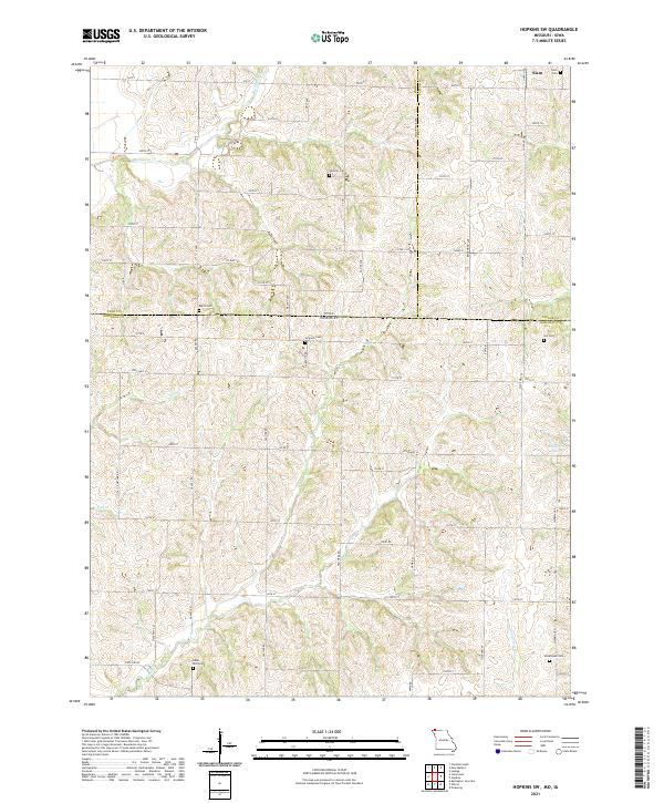
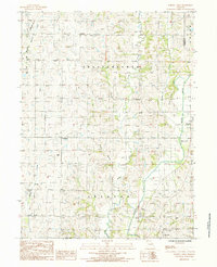
2021 Map of Hopkins SW
USGS Topo · Published 2021This historical map portrays the area of Hopkins SW in 2021, primarily covering Nodaway County as well as portions of Iowa. Featuring a scale of 1:24000, this map provides a highly detailed snapshot of the terrain, roads, buildings, counties, and historical landmarks in the Hopkins SW region at the time. Published in 2021, it is the sole known edition of this map.
Find a feature on this map
43 named features on this map. Tap any name to fly to it.
Don’t see what you’re looking for? This feature index may not catch every label — zoom into the map to look around manually.
Map Details
Editions of this 2021 Hopkins SW Map
This is the sole edition of this map. No revisions or reprints were ever made.
Historical Maps of Page County Through Time
15 maps found
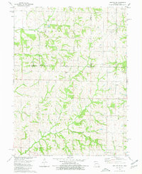
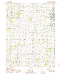
1980 Hopkins SW
Nodaway County, MO
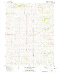
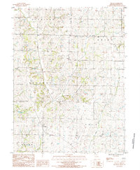
1981 Skidmore NW
Nodaway County, MO
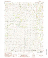
1984 Bolckow NW
Nodaway County, MO
1984 Maryville West
Nodaway County, MO
1985 Maryville East
Nodaway County, MO
1985 Parnell West
Nodaway County, MO
1985 Wilcox
Nodaway County, MO
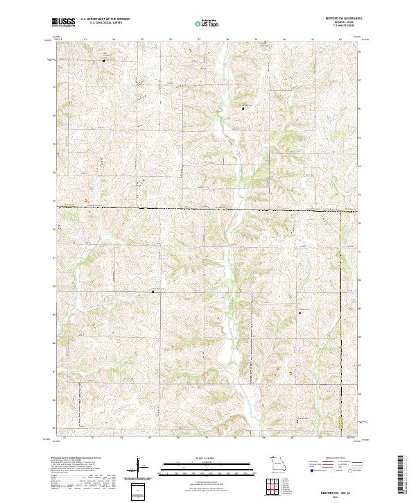
2021 Bedford SW
Nodaway County, MO
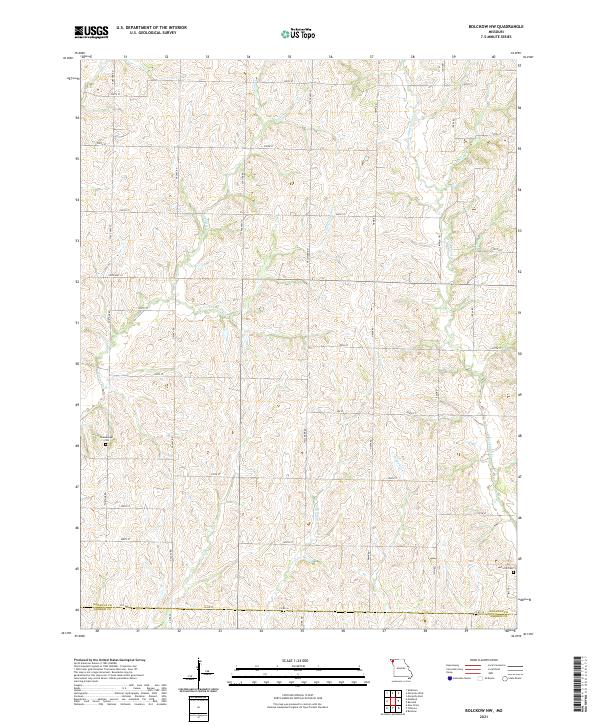
2021 Bolckow NW
Nodaway County, MO
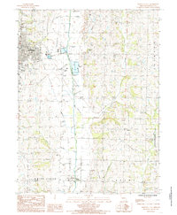
2021 Hopkins SW
Nodaway County, MO
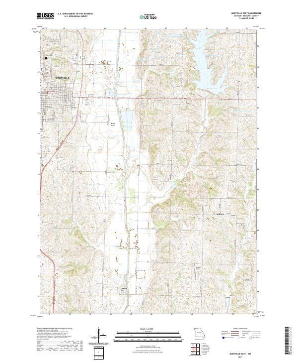
2021 Maryville East
Nodaway County, MO
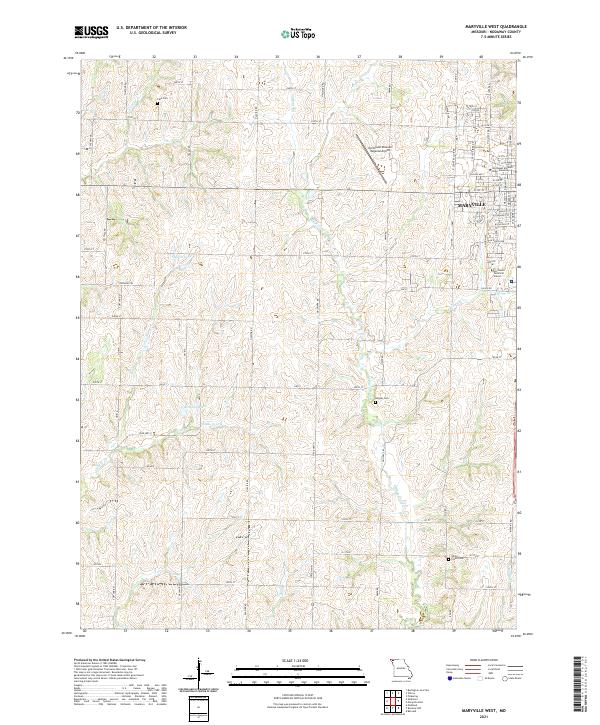
2021 Maryville West
Nodaway County, MO
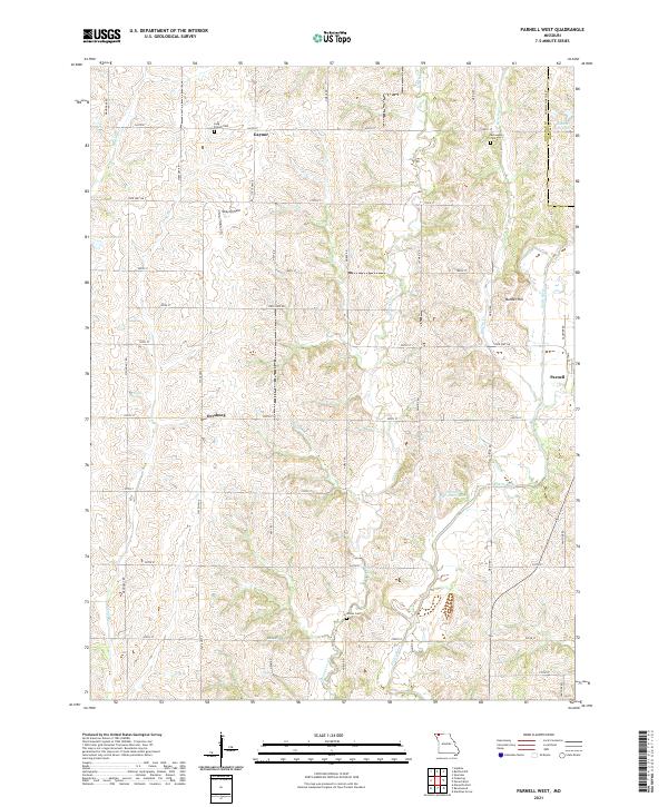
2021 Parnell West
Nodaway County, MO
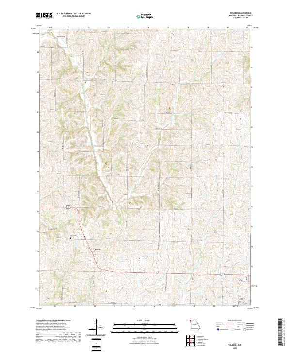
2021 Wilcox
Nodaway County, MO
2023 Skidmore NW
Nodaway County, MO