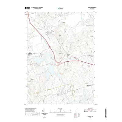
2021 Map of Hopkinton
USGS Topo · Published 2021About this map
The Contoocook River winds through this Merrimack County landscape, serving as a central artery for the historic villages of Contoocook and Hopkinton. This survey highlights the region's well-preserved 19th-century infrastructure, most notably the Contoocook Covered Bridge and the Rowell Covered Bridge at West Hopkinton. The settlement pattern is defined by traditional New England crossroads like Hatfield Corner and Pages Corner, surrounded by numerous family and village burial grounds such as the New Hopkinton Village Cem and the hilltop Putney Hill Cem.
Find a feature on this map
134 named features on this map. Tap any name to fly to it.
Don’t see what you’re looking for? This feature index may not catch every label — zoom into the map to look around manually.
Map Details
Editions of this 2021 Hopkinton Map
This is the sole edition of this map. No revisions or reprints were ever made.
Other maps of this area

1926 · Hillsboro
USGS Topo · 1:62,500

1927 · Concord
USGS Topo · 1:62,500

1927 · Penacook
USGS Topo · 1:62,500

1928 · Mount Kearsarge
USGS Topo · 1:62,500

1929 · Hillsboro
USGS Topo · 1:62,500

1931 · Mount Kearsarge
USGS Topo · 1:62,500

1949 · Portland
USGS Topo · 1:250,000

1949 · Concord
USGS Topo · 1:62,500

1956 · Penacook
USGS Topo · 1:62,500

1956 · Mt. Kearsarge
USGS Topo · 1:62,500