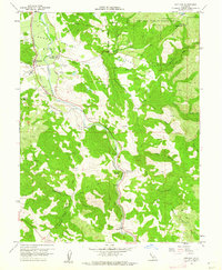
1960 Map of Hopland
USGS Topo · Published 1962About this map
Sanel Valley and the McDowell Valley dominate this early 1960s study of the Mendocino and Lake County border. The Russian River carves through the landscape, flanked by the Northwestern Pacific railroad line and the primary settlements of Hopland and Old Hopland. This document reveals a transition in rural life, showing the established Valley Oaks Farm alongside the Hopland Indian Reservation and the local Hopland Sch.
Find a feature on this map
36 named features on this map. Tap any name to fly to it.
Don’t see what you’re looking for? This feature index may not catch every label — zoom into the map to look around manually.
Map Details
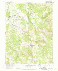
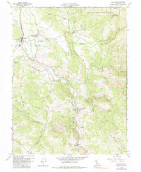
Editions of this 1960 Hopland Map
3 editions found
Other maps of this area

1920 · Ukiah
USGS Topo · 1:62,500

1921 · Kelseyville
USGS Topo · 1:62,500

1938 · Lakeport
USGS Topo · 1:62,500

1938 · Hopland
USGS Topo · 1:62,500

1943 · Kelseyville
USGS Topo · 1:62,500

1943 · Hopland
USGS Topo · 1:62,500

1944 · Ukiah
USGS Topo · 1:62,500

1944 · Hopland
USGS Topo · 1:62,500

1947 · Santa Rosa
USGS Topo · 1:250,000

1949 · Santa Rosa
USGS Topo · 1:250,000