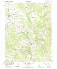
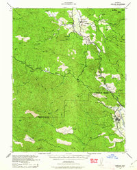
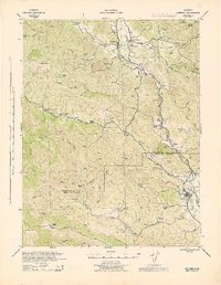
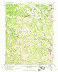
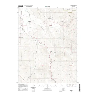
1960 Map of Hopland
USGS Topo · Published 1984About this map
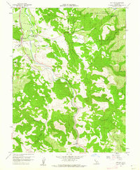
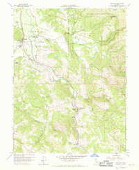
The settlement of Hopland and the nearby historic site of Old Hopland anchor this 1960 survey of the Sanel Valley. The landscape is defined by the corridor of the Russian River, which parallels the Northwestern Pacific railroad as it winds through the foothills. This period of mapping captures the region after its primary agricultural patterns were established but before significant modern expansion, showing the transition between the established town center and the original settlement site. Numerous springs and creeks, such as Feliz Creek and McDowell Creek, vein the terrain, supporting the orchards and vineyards that historically defined this portion of Mendocino County. The map provides a precise record of rural infrastructure, including the placement of schools and various family-named valleys and canyons that reflect the genealogy of the local landholding families during the mid-century.
Find a feature on this map
3 named features on this map. Tap any name to fly to it.
Don’t see what you’re looking for? This feature index may not catch every label — zoom into the map to look around manually.
Map Details
Editions of this 1960 Hopland Map
3 editions found
Historical Maps of Nacomis Indian Rancheria Through Time
10 maps found
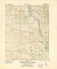
1938 Hopland
Mendocino County, CA
1943 Hopland
Mendocino County, CA
1944 Hopland
Mendocino County, CA
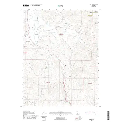
1960 Hopland
Mendocino County, CA
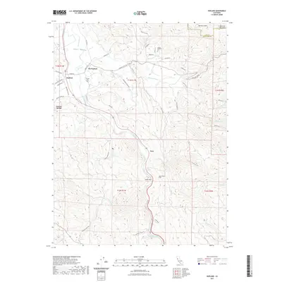
1960 Hopland
Mendocino County, CA
2012 Hopland
Mendocino County, CA
2015 Hopland
Mendocino County, CA
2018 Hopland
Mendocino County, CA
2021 Hopland
Mendocino County, CA

2023 Hopland
Mendocino County, CA