2021 Map of Horace
USGS Topo · Published 2021About this map
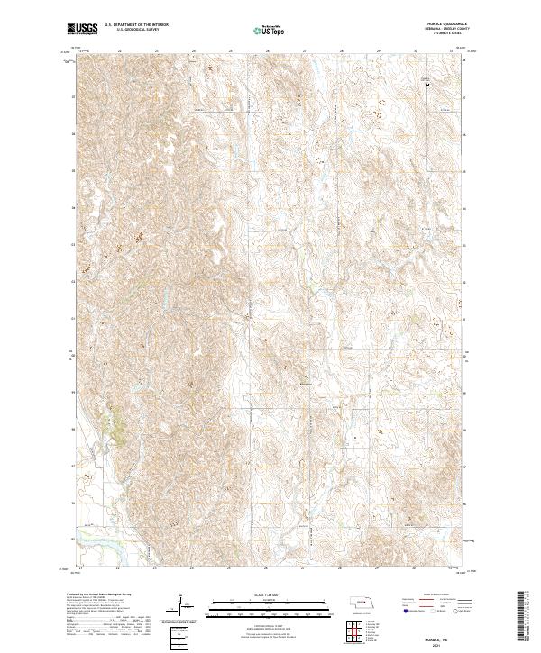
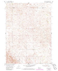
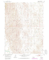
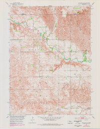
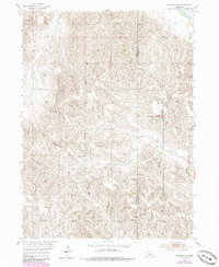
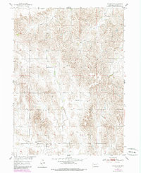
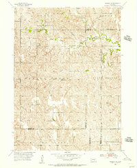
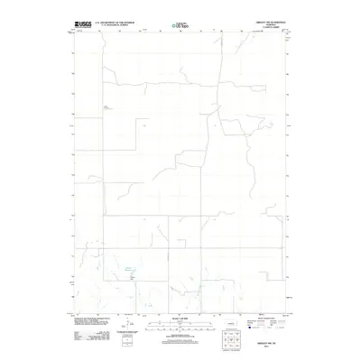
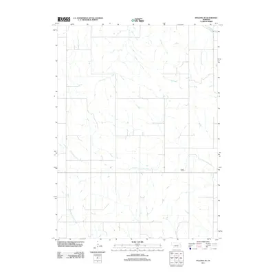
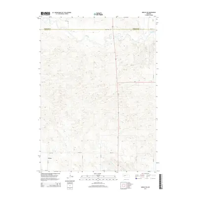
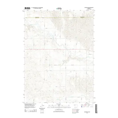
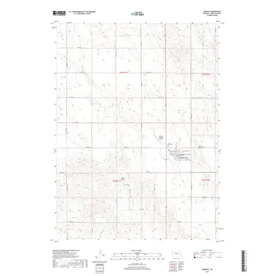
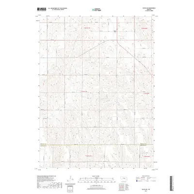
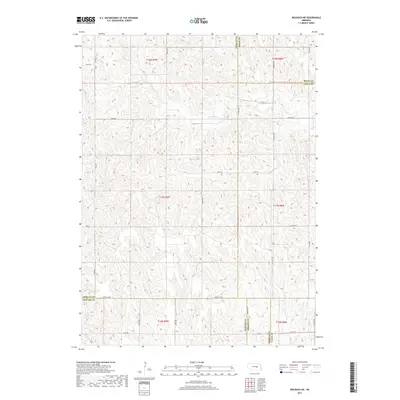
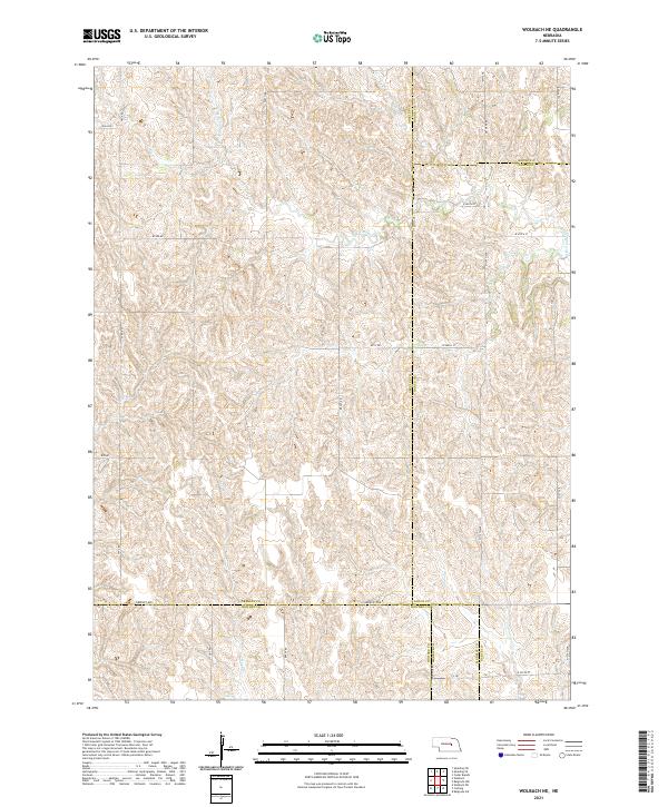
The small settlement of Horace occupies a central position on this Greeley County landscape, situated where the drainage of Wallace Cr begins to flatten toward the valley of the North Loup River. The area is characterized by a high density of section roads and avenues, such as Ericson-Scotia Ave and Wallace Creek Ave, which define the agricultural grid typical of the Nebraska Sandhills periphery. In the northeast, the Pleasant Hill Cem stands as a significant point of local history, overlooking the headwaters of the eastern creek branches. The drainage pattern of Shephard Cr and Fish Cr illustrates the erosional transition between the higher upland plateaus and the fertile river basin to the southwest, a geography that dictated the placement of early homesteads and transport routes.
Find a feature on this map
20 named features on this map. Tap any name to fly to it.
Don’t see what you’re looking for? This feature index may not catch every label — zoom into the map to look around manually.
Map Details
Editions of this 2021 Horace Map
This is the sole edition of this map. No revisions or reprints were ever made.
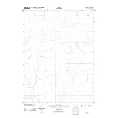
Historical Maps of Horace Through Time
45 maps found
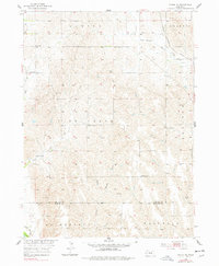
1953 Scotia NE
Greeley County, NE
1954 Greeley
Greeley County, NE
1954 Greeley NE
Greeley County, NE
1954 Greeley NW
Greeley County, NE
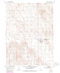
1954 Horace
Greeley County, NE
1954 Spalding NW
Greeley County, NE
1954 Spalding SE
Greeley County, NE
1954 Spalding SW
Greeley County, NE
1954 Wolbach NE
Greeley County, NE
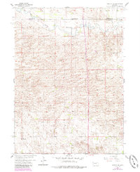
2011 Greeley
Greeley County, NE
2011 Greeley NE
Greeley County, NE
2011 Greeley NW
Greeley County, NE
2011 Horace
Greeley County, NE
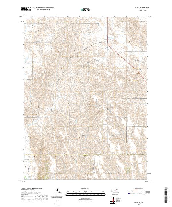
2011 Scotia NE
Greeley County, NE
2011 Spalding NW
Greeley County, NE
2011 Spalding SE
Greeley County, NE
2011 Spalding SW
Greeley County, NE
2011 Wolbach NE
Greeley County, NE
2014 Greeley
Greeley County, NE
2014 Greeley NE
Greeley County, NE
2014 Greeley NW
Greeley County, NE
2014 Horace
Greeley County, NE
2014 Scotia NE
Greeley County, NE
2014 Spalding NW
Greeley County, NE
2014 Spalding SE
Greeley County, NE
2014 Spalding SW
Greeley County, NE
2014 Wolbach NE
Greeley County, NE
2017 Greeley
Greeley County, NE
2017 Greeley NE
Greeley County, NE
2017 Greeley NW
Greeley County, NE
2017 Horace
Greeley County, NE
2017 Scotia NE
Greeley County, NE
2017 Spalding NW
Greeley County, NE
2017 Spalding SE
Greeley County, NE
2017 Spalding SW
Greeley County, NE
2017 Wolbach NE
Greeley County, NE
2021 Greeley
Greeley County, NE
2021 Greeley NE
Greeley County, NE
2021 Greeley NW
Greeley County, NE
2021 Horace
Greeley County, NE
2021 Scotia NE
Greeley County, NE
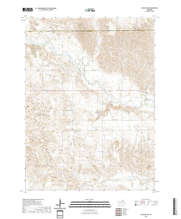
2021 Spalding NW
Greeley County, NE
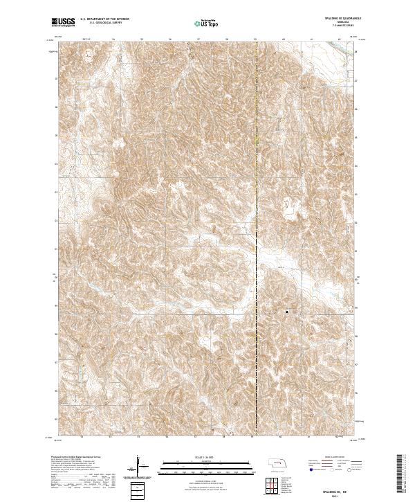
2021 Spalding SE
Greeley County, NE
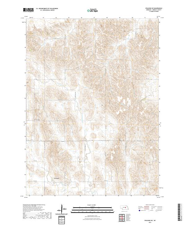
2021 Spalding SW
Greeley County, NE
2021 Wolbach NE
Greeley County, NE