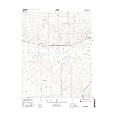
2017 Map of Horn Canyon
USGS Topo · Published 2017About this map
The San Juan River corridor anchors this portion of San Juan County, illustrating the vital relationship between desert water and human settlement. The landscape is defined by extensive irrigation infrastructure, including the Hammond Main Canal and Kutz Canyon Ditch, which support the communities of Bloomfield, Lee Acres, and West Hammond. To the south, the terrain transitions into a more arid topography marked by dramatic erosional features like Gallegos Canyon and Horn Canyon. This area is crisscrossed by a dense network of local roads and Bureau of Indian Affairs routes, such as Indian Svc Rte 4006 and Indian Svc Rte 4047, which connect the river valley to the surrounding plateaus. The placement of Gallegos Spring and various remote well pads highlights the ongoing resource management and land use patterns characteristic of the New Mexico high desert.
Find a feature on this map
101 named features on this map. Tap any name to fly to it.
Don’t see what you’re looking for? This feature index may not catch every label — zoom into the map to look around manually.
Map Details
Editions of this 2017 Horn Canyon Map
This is the sole edition of this map. No revisions or reprints were ever made.
Other maps of this area

1889 · Largo
USGS Topo · 1:250,000

1889 · Chaco
USGS Topo · 1:250,000

1892 · Chaco
USGS Topo · 1:250,000

1895 · Largo
USGS Topo · 1:250,000

1954 · Shiprock
USGS Topo · 1:250,000

1954 · Aztec
USGS Topo · 1:250,000

1958 · Shiprock
USGS Topo · 1:250,000

1958 · Aztec
USGS Topo · 1:250,000

1959 · Shiprock
USGS Topo · 1:250,000

1959 · Aztec
USGS Topo · 1:62,500