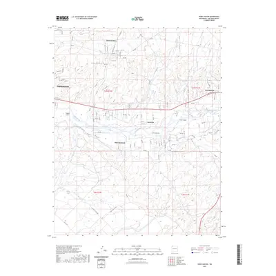
2023 Map of Horn Canyon
USGS Topo · Published 2023About this map
The San Juan River corridor between Farmington and Bloomfield reveals a complex landscape of irrigation and mesas. Agricultural infrastructure is central to the area's development, evidenced by the Hammond Main Canal and the Kutz Canyon Ditch which parallel the river valley. On the elevated terrain of Crouch Mesa, modern residential expansion is visible through a dense network of numbered roads such as Rd 5572 and Rd 5589. Near the western edge, the Farmington Mennonite Cem serves as a local genealogical landmark. The geography is defined by deep incisions like Gallegos Canyon and Kutz Canyon, while smaller communities like Lee Acres and West Hammond occupy the fertile transition between the river and the surrounding high desert.
Find a feature on this map
109 named features on this map. Tap any name to fly to it.
Don’t see what you’re looking for? This feature index may not catch every label — zoom into the map to look around manually.
Map Details
Editions of this 2023 Horn Canyon Map
This is the sole edition of this map. No revisions or reprints were ever made.
Other maps of this area

1889 · Largo
USGS Topo · 1:250,000

1889 · Chaco
USGS Topo · 1:250,000

1892 · Chaco
USGS Topo · 1:250,000

1895 · Largo
USGS Topo · 1:250,000

1954 · Shiprock
USGS Topo · 1:250,000

1954 · Aztec
USGS Topo · 1:250,000

1958 · Shiprock
USGS Topo · 1:250,000

1958 · Aztec
USGS Topo · 1:250,000

1959 · Shiprock
USGS Topo · 1:250,000

1959 · Aztec
USGS Topo · 1:62,500