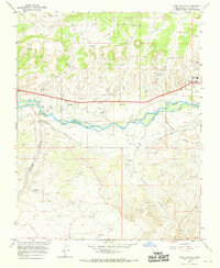
1965 Map of Horn Canyon
USGS Topo · Published 1970About this map
The San Juan River valley serves as the central artery for this mid-1960s landscape, where complex irrigation systems like Citizens Ditch and the Hammond Main Canal support the growing community of Bloomfield. The map reveals an intensive network of energy infrastructure, with numerous labels for Gas Well, Oil Well, and Pumping Sta locations scattered across the high mesas and deep drainages. This industrial footprint is balanced by local landmarks, including the Fairground and Riverside Ch, which indicate the social hubs for the area during this era.
Find a feature on this map
24 named features on this map. Tap any name to fly to it.
Don’t see what you’re looking for? This feature index may not catch every label — zoom into the map to look around manually.
Map Details
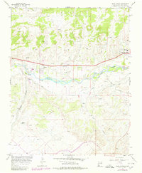
Editions of this 1965 Horn Canyon Map
2 editions found
Other maps of this area

1889 · Largo
USGS Topo · 1:250,000

1889 · Chaco
USGS Topo · 1:250,000

1892 · Chaco
USGS Topo · 1:250,000

1895 · Largo
USGS Topo · 1:250,000

1954 · Shiprock
USGS Topo · 1:250,000

1954 · Aztec
USGS Topo · 1:250,000

1958 · Shiprock
USGS Topo · 1:250,000

1958 · Aztec
USGS Topo · 1:250,000

1959 · Shiprock
USGS Topo · 1:250,000

1959 · Aztec
USGS Topo · 1:62,500