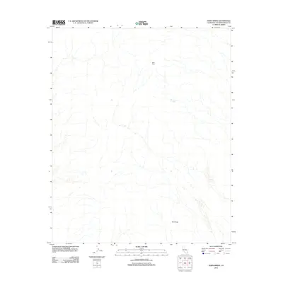
2012 Map of Horn Spring
USGS Topo · Published 2012About this map
Horn Peak and the surrounding terrain of San Bernardino County define this landscape as it was documented in 2012. The topography is characterized by the prominent elevation of Horn Peak and the southern formation of Black Ridge, which together guide the drainage patterns of this arid region. A singular water source, Horn Spring, is noted on the eastern side of the peaks, providing a crucial landmark for understanding local hydrology and historical land use. The absence of developed roads or settlements on this quadrangle underscores its isolation and the preservation of natural landforms in this part of California. The map provides a detailed view of the natural contours and drainage networks that shaped the region's character in the early 21st century.
Find a feature on this map
3 named features on this map. Tap any name to fly to it.
Don’t see what you’re looking for? This feature index may not catch every label — zoom into the map to look around manually.
Map Details
Editions of this 2012 Horn Spring Map
This is the sole edition of this map. No revisions or reprints were ever made.
Other maps of this area

1943 · Turtle Mts.
USGS Topo · 1:62,500

1943 · Vidal
USGS Topo · 1:62,500

1949 · Vidal
USGS Topo · 1:62,500

1950 · Vidal
USGS Topo · 1:62,500

1950 · Savahia Peak
USGS Topo · 1:62,500

1951 · Savahia Peak
USGS Topo · 1:62,500

1954 · Needles
USGS Topo · 1:250,000

1954 · Turtle Mountains
USGS Topo · 1:62,500

1954 · Rice
USGS Topo · 1:62,500

1956 · Needles
USGS Topo · 1:250,000