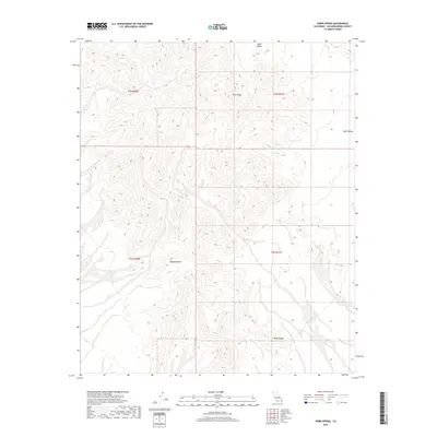
2018 Map of Horn Spring
USGS Topo · Published 2018About this map
Horn Spring serves as a vital water point in this high-elevation corner of the Mojave Desert. The landscape is defined by the sharp rise of Horn Peak and the southward slope of the Black Ridge, framing the drainage patterns that lead toward Vidal Valley. This 2018 survey detail provides a contemporary look at the topographical relief and township boundaries across T2N R20E and T2N R21E, showing how the natural springs and ridges dictate the accessibility of this arid terrain.
Find a feature on this map
9 named features on this map. Tap any name to fly to it.
Don’t see what you’re looking for? This feature index may not catch every label — zoom into the map to look around manually.
Map Details
Editions of this 2018 Horn Spring Map
This is the sole edition of this map. No revisions or reprints were ever made.
Other maps of this area

1943 · Turtle Mts.
USGS Topo · 1:62,500

1943 · Vidal
USGS Topo · 1:62,500

1949 · Vidal
USGS Topo · 1:62,500

1950 · Vidal
USGS Topo · 1:62,500

1950 · Savahia Peak
USGS Topo · 1:62,500

1951 · Savahia Peak
USGS Topo · 1:62,500

1954 · Needles
USGS Topo · 1:250,000

1954 · Turtle Mountains
USGS Topo · 1:62,500

1954 · Rice
USGS Topo · 1:62,500

1956 · Needles
USGS Topo · 1:250,000