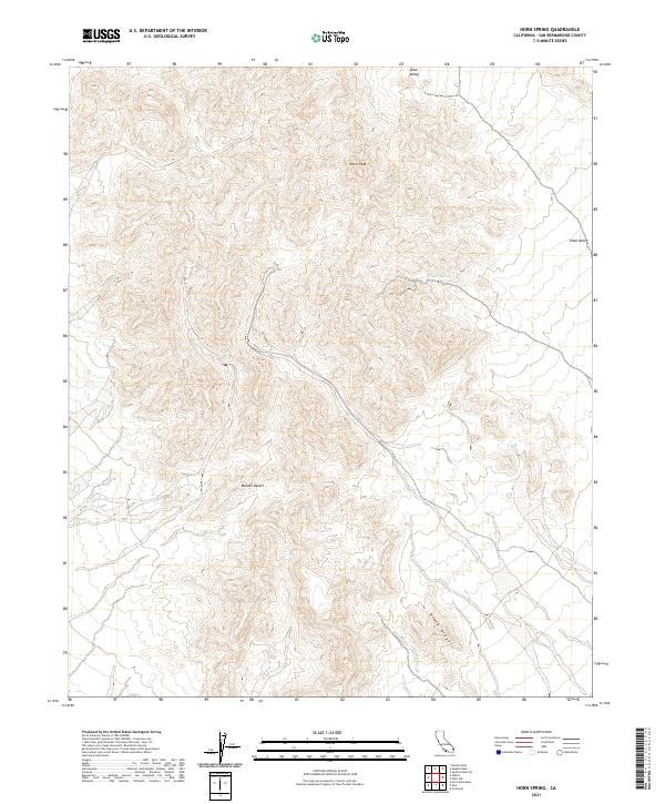
2021 Map of Horn Spring
USGS Topo · Published 2021About this map
Horn Spring serves as a vital water source in this arid portion of the Mojave Desert within San Bernardino County. The landscape is defined by significant elevation changes, ranging from the depths of Vidal Valley to the prominent heights of Horn Peak. To the south, Black Ridge forms a distinct geological boundary, marking the complex topography of the region. The map provides a precise record of the Public Land Survey System grid, including townships t2n r20e and t1n r21e, which illustrate how this open desert terrain was partitioned and managed. This survey captures a moment of modern land management where natural landmarks like springs and ridges remain the primary points of orientation in a sparsely developed environment.
Find a feature on this map
9 named features on this map. Tap any name to fly to it.
Don’t see what you’re looking for? This feature index may not catch every label — zoom into the map to look around manually.
Map Details
Editions of this 2021 Horn Spring Map
This is the sole edition of this map. No revisions or reprints were ever made.
Other maps of this area

1943 · Turtle Mts.
USGS Topo · 1:62,500

1943 · Vidal
USGS Topo · 1:62,500

1949 · Vidal
USGS Topo · 1:62,500

1950 · Vidal
USGS Topo · 1:62,500

1950 · Savahia Peak
USGS Topo · 1:62,500

1951 · Savahia Peak
USGS Topo · 1:62,500

1954 · Needles
USGS Topo · 1:250,000

1954 · Turtle Mountains
USGS Topo · 1:62,500

1954 · Rice
USGS Topo · 1:62,500

1956 · Needles
USGS Topo · 1:250,000