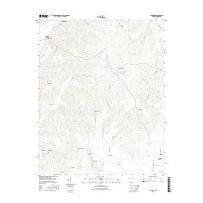
2016 Map of Hornbeak
USGS Topo · Published 2016About this map
Hornbeak and the surrounding rural communities of Elbridge and Jacksonville anchor this 2016 survey of Obion County. The landscape is defined by a dense network of creek-cut valleys and ridges, including Glady Hollow, Inman Hollow, and Burnt Mill Hollow. Small settlements like Samburg, Lassiter Corner, Minnick, and Glass are linked by winding routes such as Foothill Rd and Antioch Church Rd.
Find a feature on this map
74 named features on this map. Tap any name to fly to it.
Don’t see what you’re looking for? This feature index may not catch every label — zoom into the map to look around manually.
Map Details
Editions of this 2016 Hornbeak Map
This is the sole edition of this map. No revisions or reprints were ever made.
Other maps of this area

1925 · Reelfoot Lake
USGS Topo · 1:62,500

1939 · Reelfoot Lake
USGS Topo · 1:62,500

1939 · Dyersburg
USGS Topo · 1:62,500

1950 · Obion
USGS Topo · 1:24,000

1951 · Obion
USGS Topo · 1:24,000

1952 · Lane
USGS Topo · 1:24,000

1952 · Miston
USGS Topo · 1:24,000

1956 · Reelfoot Lake
USGS Topo · 1:62,500

1956 · Dyersburg
USGS Topo · 1:250,000
1961 · Dyersburg
USGS Topo · 1:62,500