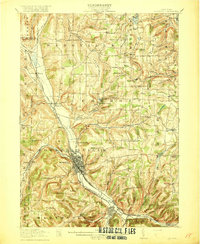
1918 Map of Hornell
USGS Topo · Published 1918About this map
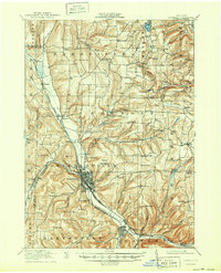
Hornell serves as the industrial and transportation nexus of this 1918 New York study, where the Erie RR and the Pittsburgh Shawmut and Northern RR converge along the Canisteo River. The city is surrounded by a complex network of upland farming communities and rural school districts, including the Loon Lake School and Swamp School, illustrating the density of early 20th-century rural education.
Find a feature on this map
93 named features on this map. Tap any name to fly to it.
Don’t see what you’re looking for? This feature index may not catch every label — zoom into the map to look around manually.
Map Details
Editions of this 1918 Hornell Map
6 editions found
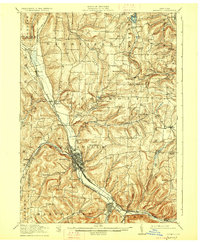
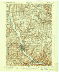
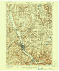
Other maps of this area

1900 · Naples
USGS Topo · 1:62,500

1902 · Wayland
USGS Topo · 1:62,500

1903 · Naples
USGS Topo · 1:62,500

1904 · Wayland
USGS Topo · 1:62,500

1905 · Nunda
USGS Topo · 1:62,500

1910 · Bath
USGS Topo · 1:62,500

1913 · Naples
USGS Topo · 1:62,500

1915 · Hornell
USGS Topo · 1:62,500

1916 · Canaseraga
USGS Topo · 1:62,500

1918 · Hornell
USGS Topo · 1:62,500