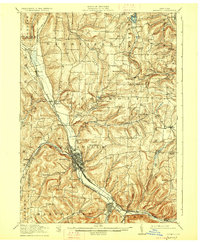
1918 Map of Hornell
USGS Topo · Published 1927About this map
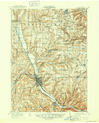
Hornell serves as the industrial and transit hub of the upper Canisteo River valley during the first world war era. The landscape is defined by the convergence of major rail lines and waterways, with the Erie RR and the Pittsburgh Shawmut and Northern RR meeting in the valley floor near Arkport. The intricate network of rural infrastructure is highly detailed, showing dozens of district schoolhouses like Dutch Street School and Babcock School that once anchored small farming communities in Dansville and Fremont.
Find a feature on this map
103 named features on this map. Tap any name to fly to it.
Don’t see what you’re looking for? This feature index may not catch every label — zoom into the map to look around manually.
Map Details
Editions of this 1918 Hornell Map
6 editions found
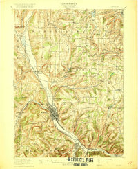
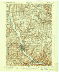
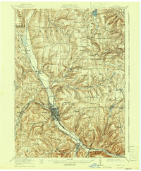
Other maps of this area

1900 · Naples
USGS Topo · 1:62,500

1902 · Wayland
USGS Topo · 1:62,500

1903 · Naples
USGS Topo · 1:62,500

1904 · Wayland
USGS Topo · 1:62,500

1905 · Nunda
USGS Topo · 1:62,500

1910 · Bath
USGS Topo · 1:62,500

1913 · Naples
USGS Topo · 1:62,500

1915 · Hornell
USGS Topo · 1:62,500

1916 · Canaseraga
USGS Topo · 1:62,500

1918 · Hornell
USGS Topo · 1:62,500