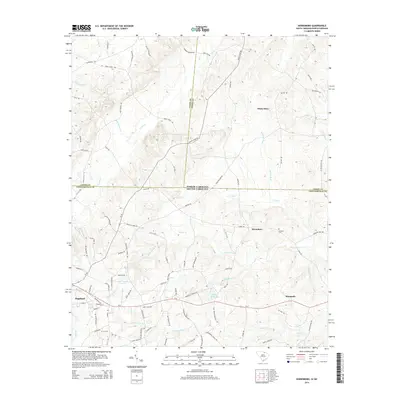
2014 Map of Hornsboro
USGS Topo · Published 2014About this map
Pageland and the surrounding rural landscape along the North Carolina-South Carolina state line are characterized by a dense network of creek branches and family-named roads. This 2014 survey documents the agricultural and forested terrain where Thompson Cr and its tributaries, such as Stone House Cr and Betties Br, shape the drainage patterns of Chesterfield, Union, and Anson counties. Historically significant locations like White Store and Hornsboro serve as focal points for local navigation, while the Antioch Cem provides a point of interest for those tracing family history in the area.
Find a feature on this map
97 named features on this map. Tap any name to fly to it.
Don’t see what you’re looking for? This feature index may not catch every label — zoom into the map to look around manually.
Map Details
Editions of this 2014 Hornsboro Map
This is the sole edition of this map. No revisions or reprints were ever made.
Other maps of this area

1941 · Spartanburg
USGS Topo · 1:250,000

1953 · Spartanburg
USGS Topo · 1:250,000

1960 · Spartanburg
USGS Topo · 1:250,000

1963 · Spartanburg
USGS Topo · 1:250,000

1964 · Spartanburg
USGS Topo · 1:250,000

1968 · Ruby
USGS Topo · 1:24,000

1968 · Jefferson
USGS Topo · 1:24,000

1968 · Jefferson NE
USGS Topo · 1:24,000

1970 · Marshville
USGS Topo · 1:24,000
1970 · Wingate
USGS Topo · 1:24,000