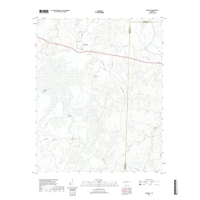
2019 Map of Hornsby
USGS Topo · Published 2019About this map
Hornsby serves as the primary settlement on this West Tennessee landscape, situated north of the expansive lowlands known as The Big Bottom. The map reveals a rural geography defined by its creek systems, including Porters Creek, Little Hatchie Creek, and Dog Tail Cr, which carve through the terrain near the junction of Hardeman, McNairy, and Chester counties. Genealogy researchers will find several family-named burial sites scattered across the countryside, such as Wyatt Cem, Hatchie Cem, and McCalips Chapel Cem. South of the main village, the small community of Serles sits near the confluence of Porters Creek and several smaller tributaries like Prairie Br. The road network, featuring routes like Webb Mill Bridge Rd and Powell Chapel Rd, reflects a long-standing agricultural and timber-based economy tied to the surrounding bottomlands and local waterways.
Find a feature on this map
34 named features on this map. Tap any name to fly to it.
Don’t see what you’re looking for? This feature index may not catch every label — zoom into the map to look around manually.
Map Details
Editions of this 2019 Hornsby Map
This is the sole edition of this map. No revisions or reprints were ever made.
Other maps of this area

1950 · Pocahontas
USGS Topo · 1:24,000

1950 · Hebron
USGS Topo · 1:24,000

1950 · Hornsby
USGS Topo · 1:24,000

1950 · Middleton
USGS Topo · 1:24,000

1951 · Middleton
USGS Topo · 1:24,000

1951 · Hebron
USGS Topo · 1:24,000

1951 · Hornsby
USGS Topo · 1:24,000

1951 · Chewalla
USGS Topo · 1:24,000

1951 · Rose Creek
USGS Topo · 1:24,000

1952 · Pocahontas
USGS Topo · 1:24,000