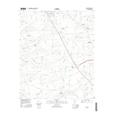
2017 Map of Horry
USGS Topo · Published 2017About this map
Aynor serves as the primary hub for this portion of Horry County, where the convergence of highways and local roads reflects a history of inland agriculture and transport. The landscape is defined by an intricate network of wetlands, including the extensive Chinners Swamp and Brunson Swamp, which dictate the placement of smaller communities such as Doyle and Cool Spring. These features highlight the importance of drainage and water management in the Lowcountry's development.
Find a feature on this map
153 named features on this map. Tap any name to fly to it.
Don’t see what you’re looking for? This feature index may not catch every label — zoom into the map to look around manually.
Map Details
Editions of this 2017 Horry Map
This is the sole edition of this map. No revisions or reprints were ever made.
Other maps of this area

1943 · Dongola
USGS Topo · 1:24,000

1943 · Adrian
USGS Topo · 1:24,000

1943 · Horry
USGS Topo · 1:24,000

1943 · Conway
USGS Topo · 1:24,000

1944 · Adrian
USGS Topo · 1:31,680

1946 · Johnsonville
USGS Topo · 1:62,500

1947 · Centenary
USGS Topo · 1:24,000

1948 · Galivants Ferry
USGS Topo · 1:24,000

1948 · Bayboro
USGS Topo · 1:24,000

1949 · Bayboro
USGS Topo · 1:24,000