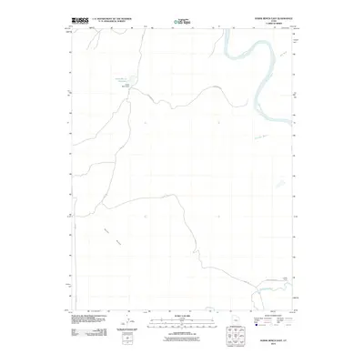
2010 Map of Horse Bench East
USGS Topo · Published 2010About this map
Horse Bench dominates the high ground in this 2010 survey of Grand County, Utah, where desert hydrology and ranching infrastructure define the landscape. The confluence of the Green River and the San Rafael River occurs at the southeastern corner of the map, a vital junction for early transportation and irrigation in this arid region. Near the modern boundary of Chaffin Ranch, several unpaved routes like the Chaffin Ranch Rd and Flint Trl trace paths through the terrain, connecting remote points across the desert. Water management is central to the area's utility, evidenced by Horse Bench Reservoir and the Horse Bench Dam positioned at a crucial bend in the trail system. These features, along with drainage patterns like Salt Wash and Dry Lake Wash, reveal the ongoing relationship between cattle ranching and the sparse water resources of the Colorado Plateau.
Find a feature on this map
12 named features on this map. Tap any name to fly to it.
Don’t see what you’re looking for? This feature index may not catch every label — zoom into the map to look around manually.
Map Details
Editions of this 2010 Horse Bench East Map
This is the sole edition of this map. No revisions or reprints were ever made.
Other maps of this area

1885 · San Rafael
USGS Topo · 1:250,000

1952 · Tidwell 4 NE
USGS Topo · 1:24,000

1954 · Tidwell 1 NE
USGS Topo · 1:24,000

1954 · Tidwell 1 SW
USGS Topo · 1:24,000

1954 · Tidwell 2 SE
USGS Topo · 1:24,000

1954 · Tidwell 2 NE
USGS Topo · 1:24,000

1954 · Tidwell 1 NW
USGS Topo · 1:24,000

1954 · Tidwell 1 SE
USGS Topo · 1:24,000

1954 · Tidwell Bottoms
USGS Topo · 1:62,500

1954 · Green River
USGS Topo · 1:62,500