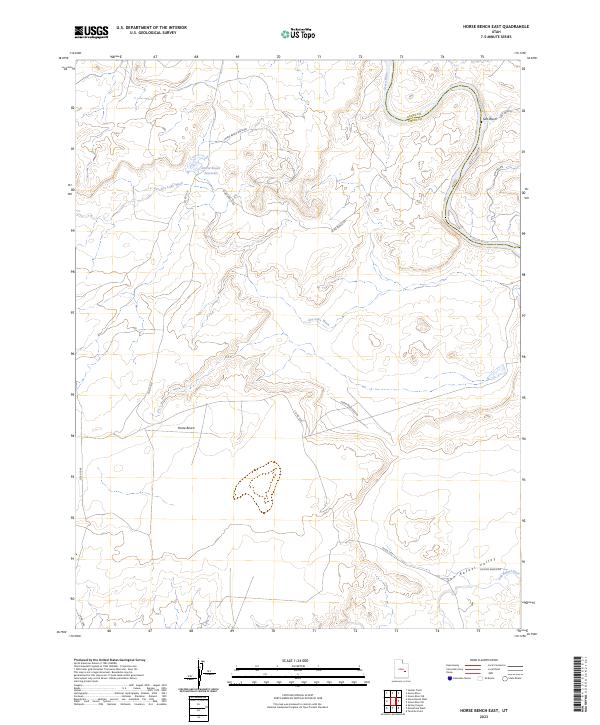
2023 Map of Horse Bench East
USGS Topo · Published 2023About this map
The confluence of high-desert canyons and vital water sources defines this 2023 survey of the Utah borderlands between Grand Co and Emery Co. The Green River carves a winding path through the northeastern corner of the map, while the San Rafael River traverses the southern reaches through the San Rafael Valley. The landscape is dominated by the prominent Horse Bench landform, a topographic high point that overlooks a network of seasonal drainages including Dry Lake Wash and several segments of Salt Wash. Cattle ranching and remote access are evidenced by the inclusion of Irvin Ranch Rd and Chaffin Ranch Rd, connecting isolated landmarks like the Horse Bench Reservoir and the Horse Bench Res E Spr. This map provides a contemporary record of a sparse, high-elevation terrain where desert hydrology remains the primary factor for navigation and land use.
Find a feature on this map
16 named features on this map. Tap any name to fly to it.
Don’t see what you’re looking for? This feature index may not catch every label — zoom into the map to look around manually.
Map Details
Editions of this 2023 Horse Bench East Map
This is the sole edition of this map. No revisions or reprints were ever made.
Other maps of this area

1885 · San Rafael
USGS Topo · 1:250,000

1952 · Tidwell 4 NE
USGS Topo · 1:24,000

1954 · Tidwell 1 NE
USGS Topo · 1:24,000

1954 · Tidwell 1 SW
USGS Topo · 1:24,000

1954 · Tidwell 2 SE
USGS Topo · 1:24,000

1954 · Tidwell 2 NE
USGS Topo · 1:24,000

1954 · Tidwell 1 NW
USGS Topo · 1:24,000

1954 · Tidwell 1 SE
USGS Topo · 1:24,000

1954 · Tidwell Bottoms
USGS Topo · 1:62,500

1954 · Green River
USGS Topo · 1:62,500