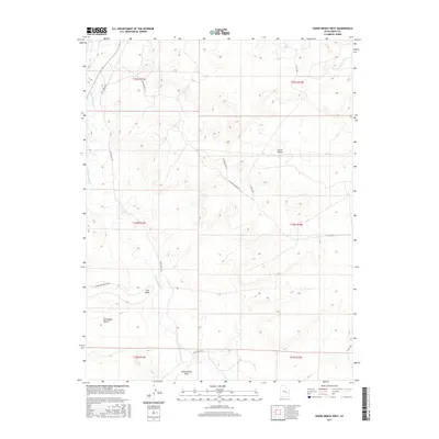
2017 Map of Horse Bench West
USGS Topo · Published 2017About this map
The San Rafael River cuts through the arid expanse of the San Rafael Desert, creating a vital corridor of hydrology within this Emery County landscape. The terrain is defined by the prominent Horse Bench in the east and the drainage patterns of Iron Wash and Cottonwood Wash to the south. Transportation and access are limited to a network of unpaved tracks, including Gillis Ranch Rd and routes associated with historic resource extraction such as Acerson Mine Rd and the Se Acerson Mine Exn. This survey illustrates the isolation of the region, where the primary human footprint consists of ranching roads and mining access routes traversing the benchlands and washes. The naming of Lower Iron Wash Loop suggests established, albeit primitive, circuits used for land management or recreational navigation in this remote section of Utah.
Find a feature on this map
17 named features on this map. Tap any name to fly to it.
Don’t see what you’re looking for? This feature index may not catch every label — zoom into the map to look around manually.
Map Details
Editions of this 2017 Horse Bench West Map
This is the sole edition of this map. No revisions or reprints were ever made.
Other maps of this area

1885 · San Rafael
USGS Topo · 1:250,000

1953 · Tidwell 2 SW
USGS Topo · 1:24,000

1953 · Tidwell 3 NW
USGS Topo · 1:24,000

1953 · Tidwell 2 NW
USGS Topo · 1:24,000

1954 · Tidwell 1 SW
USGS Topo · 1:24,000

1954 · Tidwell 2 SE
USGS Topo · 1:24,000

1954 · Tidwell 2 NE
USGS Topo · 1:24,000

1954 · Tidwell 1 NW
USGS Topo · 1:24,000

1954 · Tidwell Bottoms
USGS Topo · 1:62,500

1954 · Green River
USGS Topo · 1:62,500