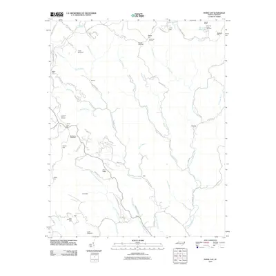
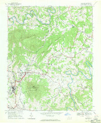
2010 Map of Horse Gap
USGS Topo · Published 2010About this map
The Blue Ridge Pkwy traverses the high ridges of this Appalachian landscape, connecting a series of natural passages including Horse Gap, Daniels Gap, and Gillam Gap. This region is defined by the headwaters of the Reddies River, where the North Fork Reddies River, Middle Fork Reddies River, and South Fork Reddies River carve deep valleys through the mountain terrain. Small settlements like Vannoy and Wilbar are situated along these watercourses, reflecting a settlement pattern dictated by the steep topography.
Find a feature on this map
73 named features on this map. Tap any name to fly to it.
Don’t see what you’re looking for? This feature index may not catch every label — zoom into the map to look around manually.
Map Details
Editions of this 2010 Horse Gap Map
This is the sole edition of this map. No revisions or reprints were ever made.
Other maps of this area

1889 · Wilkesboro
USGS Topo · 1:125,000

1891 · Wilkesboro
USGS Topo · 1:125,000

1953 · Winston-Salem
USGS Topo · 1:250,000

1955 · Winston-Salem
USGS Topo · 1:250,000

1962 · Winston-Salem
USGS Topo · 1:250,000
1966 · Maple Springs
USGS Topo · 1:24,000

1966 · Wilkesboro
USGS Topo · 1:24,000
1966 · Purlear
USGS Topo · 1:24,000
1967 · Glendale Springs
USGS Topo · 1:24,000
1968 · Jefferson
USGS Topo · 1:24,000