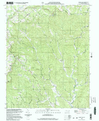
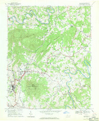
2000 Map of Horse Gap
USGS Topo · Published 2003About this map
Reddies River headwaters define the geography of this Wilkes County landscape, where the Blue Ridge Parkway skirts the northern boundary along the crest of the mountains. The area's settlement history is preserved through a network of rural congregations and civic landmarks, including the Union Township Sch and several small churches such as Oak Grove Ch and New Light Ch. The rugged terrain is marked by numerous gaps and ridges, with the community of Vannoy situated near the confluence of Bumgarner Branch and the river's main stem.
Find a feature on this map
46 named features on this map. Tap any name to fly to it.
Don’t see what you’re looking for? This feature index may not catch every label — zoom into the map to look around manually.
Map Details
Editions of this 2000 Horse Gap Map
This is the sole edition of this map. No revisions or reprints were ever made.
Other maps of this area

1889 · Wilkesboro
USGS Topo · 1:125,000

1891 · Wilkesboro
USGS Topo · 1:125,000

1953 · Winston-Salem
USGS Topo · 1:250,000

1955 · Winston-Salem
USGS Topo · 1:250,000

1962 · Winston-Salem
USGS Topo · 1:250,000
1966 · Maple Springs
USGS Topo · 1:24,000

1966 · Wilkesboro
USGS Topo · 1:24,000
1966 · Purlear
USGS Topo · 1:24,000
1967 · Glendale Springs
USGS Topo · 1:24,000
1968 · Jefferson
USGS Topo · 1:24,000