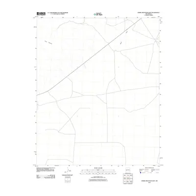
2010 Map of Horse Mountain East
USGS Topo · Published 2010About this map
Horse Mountain rises as the central topographical landmark in this high-altitude landscape of Catron County. The region's drainage pattern is defined by ephemeral watercourses like Nester Draw, which cuts through the northeastern reaches. This 2010 USGS survey illustrates a remote ranching or conservation landscape, where a sparse network of local roads and unimproved paths provides the only access across the expansive terrain. The absence of concentrated settlements or named towns emphasizes the isolation of this western New Mexico territory, leaving the physical geography and the names of its landforms as the primary markers of human navigation and land use.
Find a feature on this map
2 named features on this map. Tap any name to fly to it.
Don’t see what you’re looking for? This feature index may not catch every label — zoom into the map to look around manually.
Map Details
Editions of this 2010 Horse Mountain East Map
This is the sole edition of this map. No revisions or reprints were ever made.
Other maps of this area

1918 · Pelona
USGS Topo · 1:125,000

1954 · Tularosa
USGS Topo · 1:250,000

1954 · Clifton
USGS Topo · 1:250,000

1954 · Saint Johns
USGS Topo · 1:250,000

1954 · Socorro
USGS Topo · 1:250,000

1957 · Clifton
USGS Topo · 1:250,000

1957 · Saint Johns
USGS Topo · 1:250,000

1958 · Socorro
USGS Topo · 1:250,000

1958 · Clifton
USGS Topo · 1:250,000

1958 · Tularosa
USGS Topo · 1:250,000