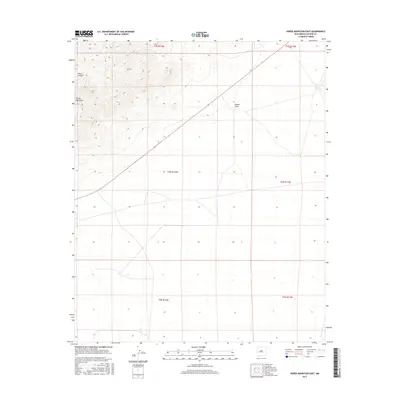
2017 Map of Horse Mountain East
USGS Topo · Published 2017About this map
Horse Mountain dominates the northwest corner of this Catron County landscape, its steep contours rising above the surrounding high-desert terrain. The geography here is defined by drainage patterns and seasonal waterways, including the winding course of Nance Canyon and the broad expanse of Nester Draw to the east. This 2017 survey reflects a largely undeveloped region of New Mexico, organized by the Public Land Survey System into townships such as t3s r12w and t4s r11w. The lack of dense settlement emphasizes the importance of natural landmarks for navigation in this arid environment, where topographic changes and named canyons provide the primary sense of place for researchers and land managers.
Find a feature on this map
9 named features on this map. Tap any name to fly to it.
Don’t see what you’re looking for? This feature index may not catch every label — zoom into the map to look around manually.
Map Details
Editions of this 2017 Horse Mountain East Map
This is the sole edition of this map. No revisions or reprints were ever made.
Other maps of this area

1918 · Pelona
USGS Topo · 1:125,000

1954 · Tularosa
USGS Topo · 1:250,000

1954 · Clifton
USGS Topo · 1:250,000

1954 · Saint Johns
USGS Topo · 1:250,000

1954 · Socorro
USGS Topo · 1:250,000

1957 · Clifton
USGS Topo · 1:250,000

1957 · Saint Johns
USGS Topo · 1:250,000

1958 · Socorro
USGS Topo · 1:250,000

1958 · Clifton
USGS Topo · 1:250,000

1958 · Tularosa
USGS Topo · 1:250,000