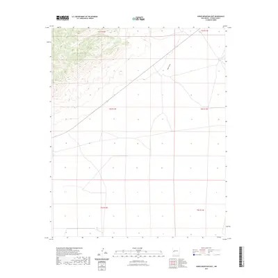
2023 Map of Horse Mountain East
USGS Topo · Published 2023About this map
Horse Mtn dominates the northwestern corner of this landscape, its steep topography rising above the high desert floor of Catron County. The terrain is characterized by broad, high-altitude basins and dry drainage systems, most notably Nester Draw, which cuts through the northeastern portion of the territory. This 2023 survey by the United States Geological Survey illustrates a sparsely populated region of New Mexico where the natural landscape remains the primary feature. The map highlights the vast Public Land Survey System divisions, including ranges t3s r12w, t3s r11w, t4s r12w, t4s r11w, t5s r12w, and t5s r11w, providing a clear record of the modern administrative boundaries and the limited road network that traverses this area of the high plains.
Find a feature on this map
8 named features on this map. Tap any name to fly to it.
Don’t see what you’re looking for? This feature index may not catch every label — zoom into the map to look around manually.
Map Details
Editions of this 2023 Horse Mountain East Map
This is the sole edition of this map. No revisions or reprints were ever made.
Other maps of this area

1918 · Pelona
USGS Topo · 1:125,000

1954 · Tularosa
USGS Topo · 1:250,000

1954 · Clifton
USGS Topo · 1:250,000

1954 · Saint Johns
USGS Topo · 1:250,000

1954 · Socorro
USGS Topo · 1:250,000

1957 · Clifton
USGS Topo · 1:250,000

1957 · Saint Johns
USGS Topo · 1:250,000

1958 · Socorro
USGS Topo · 1:250,000

1958 · Clifton
USGS Topo · 1:250,000

1958 · Tularosa
USGS Topo · 1:250,000