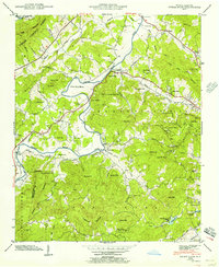
1942 Map of Horse Shoe
USGS Topo · Published 1956About this map
The French Broad River winds through the heart of this 1942 survey, creating the dramatic Horse Shoe Bend that defines the local geography. This river valley was a primary corridor for transportation and industry during the early 1940s, anchored by the Southern Railway and the village of Horse Shoe. Settlement patterns follow the fertile bottoms and rail line, with family and community life centered around landmarks like Oak Forest Ch and Pleasant Grove Ch. In the northeast corner, a State Prison Camp near Rugby Pond stands as a distinct institutional marker of the era.
Find a feature on this map
79 named features on this map. Tap any name to fly to it.
Don’t see what you’re looking for? This feature index may not catch every label — zoom into the map to look around manually.
Map Details
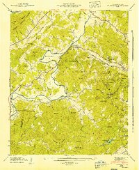
Editions of this 1942 Horse Shoe Map
2 editions found
Other maps of this area

1905 · Pisgah
USGS Topo · 1:125,000

1906 · Pisgah
USGS Topo · 1:125,000

1907 · Saluda
USGS Topo · 1:125,000

1935 · Brevard
USGS Topo · 1:24,000

1935 · Standingstone Mtn.
USGS Topo · 1:24,000

1935 · Horse Shoe
USGS Topo · 1:24,000

1935 · Hendersonville
USGS Topo · 1:24,000

1935 · Zirconia
USGS Topo · 1:24,000

1935 · Pisgah Forest
USGS Topo · 1:24,000

1936 · Skyland
USGS Topo · 1:24,000