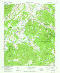
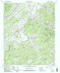
1965 Map of Horse Shoe
USGS Topo · Published 1973About this map
The French Broad River carves a sweeping path through the heart of this Henderson County landscape, defining the topography near the Horse Shoe Bend. This mid-century survey captures the region as residential development began to intermingle with traditional agricultural and industrial sites. To the north, the State Prison Camp No. 124 stands near Crestwood, while the Southern Railway follows the river valley, connecting settlements like Horse Shoe and Etowah.
Find a feature on this map
131 named features on this map. Tap any name to fly to it.
Don’t see what you’re looking for? This feature index may not catch every label — zoom into the map to look around manually.
Map Details
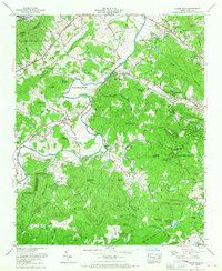
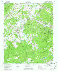
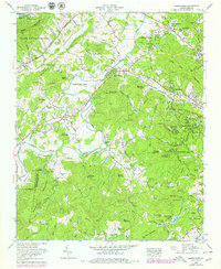
Editions of this 1965 Horse Shoe Map
5 editions found
Other maps of this area

1905 · Pisgah
USGS Topo · 1:125,000

1906 · Pisgah
USGS Topo · 1:125,000

1907 · Saluda
USGS Topo · 1:125,000

1935 · Brevard
USGS Topo · 1:24,000

1935 · Standingstone Mtn.
USGS Topo · 1:24,000

1935 · Horse Shoe
USGS Topo · 1:24,000

1935 · Hendersonville
USGS Topo · 1:24,000

1935 · Zirconia
USGS Topo · 1:24,000

1935 · Pisgah Forest
USGS Topo · 1:24,000

1936 · Skyland
USGS Topo · 1:24,000