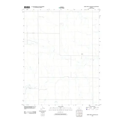
2009 Map of Horse Thief Canyon NW
USGS Topo · Published 2009About this map
Pawnee River and its meandering tributaries dominate this High Plains landscape in western Kansas at the turn of the 21st century. The terrain is defined by the hydrologic network of Cottonwood Creek, Hackberry Creek, and Sand Creek, which carve subtle drainage patterns across the expansive prairie. This area, situated along the eastern edge of Finney County, is bisected by the Hodgeman County Line Rd, marking a clear administrative boundary in the rural grid. Cultural landmarks are sparse but significant for local history, most notably the Kitterville Cemetery located near the center of the quadrangle. Local transportation is represented by a handful of named routes such as N Hamil Rd and Omey Rd, which provide access to the isolated homesteads and agricultural lands that characterize this section of the Kansas interior.
Find a feature on this map
8 named features on this map. Tap any name to fly to it.
Don’t see what you’re looking for? This feature index may not catch every label — zoom into the map to look around manually.
Map Details
Editions of this 2009 Horse Thief Canyon NW Map
This is the sole edition of this map. No revisions or reprints were ever made.
Other maps of this area

1955 · Scott City
USGS Topo · 1:250,000

1958 · Scott City
USGS Topo · 1:250,000
1970 · Horse Thief Canyon
USGS Topo · 1:24,000
1974 · Horse Thief Canyon SW
USGS Topo · 1:24,000
1974 · Kalvesta
USGS Topo · 1:24,000
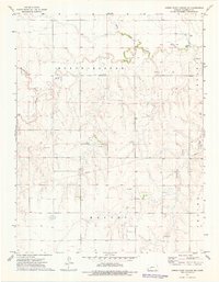
1974 · Horse Thief Canyon NE
USGS Topo · 1:24,000
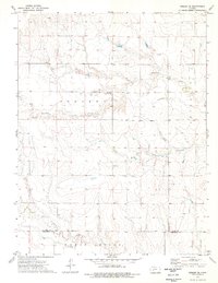
1974 · Beeler SE
USGS Topo · 1:24,000

1974 · Hay Canyon
USGS Topo · 1:24,000

1974 · Beeler SW
USGS Topo · 1:24,000

1974 · Dighton SE
USGS Topo · 1:24,000