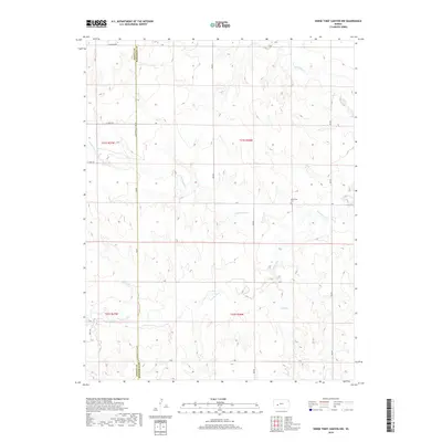
2018 Map of Horse Thief Canyon NW
USGS Topo · Published 2018About this map
Pawnee River flows through the center of this rural landscape, tracing a winding path across the border between Finney and Hodgeman counties. The terrain is defined by the drainage systems of Cottonwood Cr, Sand Cr, and Hackberry Cr, which carve through the high plains. For genealogists and local historians, Kitterville Cem stands as a significant point of interest, located just north of the river. The area's agricultural character is evidenced by the strict grid of section lines and gravel paths, including Hodgeman Co Line Rd and E Alamato Rd. This 2018 survey provides an exact record of the land use and water features in a region where the vast drainage basins of western Kansas converge.
Find a feature on this map
20 named features on this map. Tap any name to fly to it.
Don’t see what you’re looking for? This feature index may not catch every label — zoom into the map to look around manually.
Map Details
Editions of this 2018 Horse Thief Canyon NW Map
This is the sole edition of this map. No revisions or reprints were ever made.
Other maps of this area

1955 · Scott City
USGS Topo · 1:250,000

1958 · Scott City
USGS Topo · 1:250,000
1970 · Horse Thief Canyon
USGS Topo · 1:24,000
1974 · Horse Thief Canyon SW
USGS Topo · 1:24,000
1974 · Kalvesta
USGS Topo · 1:24,000
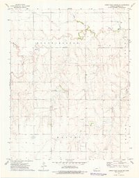
1974 · Horse Thief Canyon NE
USGS Topo · 1:24,000
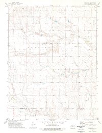
1974 · Beeler SE
USGS Topo · 1:24,000

1974 · Hay Canyon
USGS Topo · 1:24,000

1974 · Beeler SW
USGS Topo · 1:24,000

1974 · Dighton SE
USGS Topo · 1:24,000