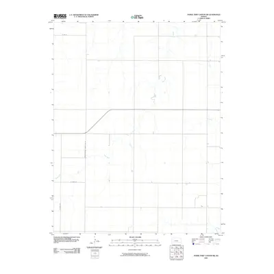
2009 Map of Horse Thief Canyon SW
USGS Topo · Published 2009About this map
Sand Creek defines the drainage of this western Kansas prairie landscape, winding through a section of Finney County where the open terrain is organized by a precise grid of rural routes. The intersection of infrastructure and political boundaries is evident at the Finney-Hodgeman County Line Rd, which separates the two counties along a north-south axis. This 2009 survey by the U.S. Geological Survey illustrates the modern agricultural layout of the region, showing how long-established section roads like E Oyler Rd, N Woods Rd, and E Rd Aa continue to serve as the primary conduits for movement across the plains. The map provides a clear view of the sparse, stream-fed topography that characterizes the high plains transition, where development is limited to isolated farmsteads and the maintenance of the regional road network.
Find a feature on this map
5 named features on this map. Tap any name to fly to it.
Don’t see what you’re looking for? This feature index may not catch every label — zoom into the map to look around manually.
Map Details
Editions of this 2009 Horse Thief Canyon SW Map
This is the sole edition of this map. No revisions or reprints were ever made.
Other maps of this area

1892 · Dodge
USGS Topo · 1:125,000

1955 · Dodge City
USGS Topo · 1:250,000

1955 · Scott City
USGS Topo · 1:250,000

1958 · Dodge City
USGS Topo · 1:250,000

1958 · Scott City
USGS Topo · 1:250,000

1959 · Dodge City
USGS Topo · 1:250,000

1968 · Dodge City NE
USGS Topo · 1:24,000

1968 · Dodge City NW
USGS Topo · 1:24,000

1968 · Cimarron NE
USGS Topo · 1:24,000
1970 · Horse Thief Canyon
USGS Topo · 1:24,000