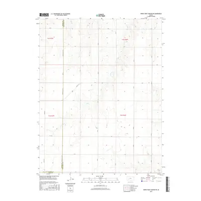
2015 Map of Horse Thief Canyon SW
USGS Topo · Published 2015About this map
The high plains of Finney and Hodgeman counties are defined here by a systematic grid of section lines and the intermittent drainage of Sand Creek. In this portion of western Kansas, the landscape is divided into townships including t22s r27w and t23s r26w, where the agrarian layout is served by a network of numbered and lettered routes such as 202 Road, H Road, and State Highway 156. The topography is subtly shaped by the canyon-like depressions of the creek bed, providing the only break in the rectilinear pattern of the land. This 2015 survey reflects the enduring structure of the Public Land Survey System, showing how local transit is still funneled along county lines like Hodgeman County Line Road, connecting isolated ranch and farm sites to the broader region.
Find a feature on this map
63 named features on this map. Tap any name to fly to it.
Don’t see what you’re looking for? This feature index may not catch every label — zoom into the map to look around manually.
Map Details
Editions of this 2015 Horse Thief Canyon SW Map
This is the sole edition of this map. No revisions or reprints were ever made.
Other maps of this area

1892 · Dodge
USGS Topo · 1:125,000

1955 · Dodge City
USGS Topo · 1:250,000

1955 · Scott City
USGS Topo · 1:250,000

1958 · Dodge City
USGS Topo · 1:250,000

1958 · Scott City
USGS Topo · 1:250,000

1959 · Dodge City
USGS Topo · 1:250,000

1968 · Dodge City NE
USGS Topo · 1:24,000

1968 · Dodge City NW
USGS Topo · 1:24,000

1968 · Cimarron NE
USGS Topo · 1:24,000
1970 · Horse Thief Canyon
USGS Topo · 1:24,000