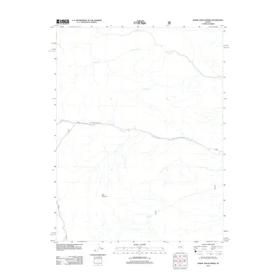
2012 Map of Horse Track Spring
USGS Topo · Published 2012About this map
White River Campground serves as a central landmark in this high-elevation landscape, situated along the White River. The area is defined by its vital water sources in an otherwise arid environment, including the namesake Horse Track Spring and Cottonwood Spring. These springs and seasonal drainages like Cottonwood Cr and Currant Cr dictate the local geography, providing necessary water for travelers and wildlife alike. The terrain is dominated by the prominence of Red Mountain, which rises above the surrounding valleys. Transport through this portion of Nye County is facilitated by the Natl Forest Develop Road 405 Rd, which follows the river's path, and various primitive routes like 405 and 407. The presence of isolated points like Halfway Spring suggests the historic importance of reliable waypoints for movement across this rugged terrain.
Find a feature on this map
12 named features on this map. Tap any name to fly to it.
Don’t see what you’re looking for? This feature index may not catch every label — zoom into the map to look around manually.
Map Details
Editions of this 2012 Horse Track Spring Map
This is the sole edition of this map. No revisions or reprints were ever made.
Other maps of this area

1949 · Treasure Hill
USGS Topo · 1:62,500

1950 · Treasure Hill
USGS Topo · 1:62,500

1956 · Lund
USGS Topo · 1:250,000

1956 · Ely
USGS Topo · 1:250,000

1957 · Currant Mtn
USGS Topo · 1:62,500

1959 · Ely
USGS Topo · 1:250,000

1959 · Preston Reservoir
USGS Topo · 1:62,500

1960 · Lund
USGS Topo · 1:250,000

1963 · Ely
USGS Topo · 1:250,000

1964 · Currant Mtn
USGS Topo · 1:62,500