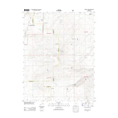
2013 Map of Horsefly Peak
USGS Topo · Published 2013About this map
Uncompahgre National Forest spans the northwestern reaches of this terrain, where the drainage of Happy Canyon and Dolores Canyon cuts through the high plateau. The landscape is defined by its water management and seasonal camps, featuring Horse Pasture Reservoir, Paxton Reservoir, and Hofmann Reservoir alongside the Hofmann Ranch. These water sources were essential for the cattle and sheep operations that historically utilized the ridges and canyons of this area.
Find a feature on this map
60 named features on this map. Tap any name to fly to it.
Don’t see what you’re looking for? This feature index may not catch every label — zoom into the map to look around manually.
Map Details
Editions of this 2013 Horsefly Peak Map
This is the sole edition of this map. No revisions or reprints were ever made.
Other maps of this area

1909 · Montrose
USGS Topo · 1:125,000

1911 · Montrose
USGS Topo · 1:125,000

1953 · Placerville
USGS Topo · 1:24,000

1956 · Montrose
USGS Topo · 1:250,000

1956 · Moab
USGS Topo · 1:250,000

1959 · Moab
USGS Topo · 1:250,000

1959 · Montrose
USGS Topo · 1:250,000

1960 · Montrose
USGS Topo · 1:250,000

1960 · Moab
USGS Topo · 1:250,000

1962 · Moab
USGS Topo · 1:250,000