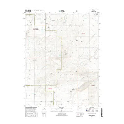
2016 Map of Horsefly Peak
USGS Topo · Published 2016About this map
Horsefly Peak and the high ridges of the Uncompahgre Plateau anchor this 2016 survey at the junction of Montrose, Ouray, and San Miguel counties. The landscape is defined by a series of prominent landforms including Log Hill Mesa, Sagehen Ridge, and Hull Ridge, which separate deep drainages such as Happy Canyon and Dolores Canyon. The distribution of water features, from Hofmann Reservoir to isolated points like Mexican Cabin Spring and Steel Tank Spring, illustrates the critical infrastructure required for land management within the Uncompahgre National Forest. A network of thoroughfares like Dave Wood Rd and San Juan Vista Rd provides access across these undulating flats and canyons, connecting remote points like Howard Flats to the broader regional geography.
Find a feature on this map
67 named features on this map. Tap any name to fly to it.
Don’t see what you’re looking for? This feature index may not catch every label — zoom into the map to look around manually.
Map Details
Editions of this 2016 Horsefly Peak Map
This is the sole edition of this map. No revisions or reprints were ever made.
Other maps of this area

1909 · Montrose
USGS Topo · 1:125,000

1911 · Montrose
USGS Topo · 1:125,000

1953 · Placerville
USGS Topo · 1:24,000

1956 · Montrose
USGS Topo · 1:250,000

1956 · Moab
USGS Topo · 1:250,000

1959 · Moab
USGS Topo · 1:250,000

1959 · Montrose
USGS Topo · 1:250,000

1960 · Montrose
USGS Topo · 1:250,000

1960 · Moab
USGS Topo · 1:250,000

1962 · Moab
USGS Topo · 1:250,000